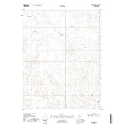
2020 Map of Steele Butte
USGS Topo · Published 2020About this map
Steele Butte rises as a central landmark within this portion of the Henry Mountains, anchoring a landscape of high mesas and desert drainage systems. The survey reveals a complex topography of benches and flats, such as Pete Steele Bench, Dugout Flat, and Apple Brush Flat, which historically provided the primary navigable terrain for ranching and exploration. These elevated plains are separated by deep erosional features including Five Canyon and the expansive Seven Canyon network.
Find a feature on this map
20 named features on this map. Tap any name to fly to it.
Don’t see what you’re looking for? This feature index may not catch every label — zoom into the map to look around manually.
Map Details
Editions of this 2020 Steele Butte Map
This is the sole edition of this map. No revisions or reprints were ever made.
Other maps of this area

1885 · San Rafael
USGS Topo · 1:250,000

1885 · Fish Lake
USGS Topo · 1:250,000

1886 · Escalante
USGS Topo · 1:250,000

1886 · Henry Mountains
USGS Topo · 1:250,000

1892 · Henry Mountains
USGS Topo · 1:250,000

1896 · Fish Lake
USGS Topo · 1:250,000

1952 · Notom 4 SE
USGS Topo · 1:24,000

1952 · Mt Pennell 2 NE
USGS Topo · 1:24,000

1952 · Notom 4 NE
USGS Topo · 1:24,000

1952 · Notom
USGS Topo · 1:62,500