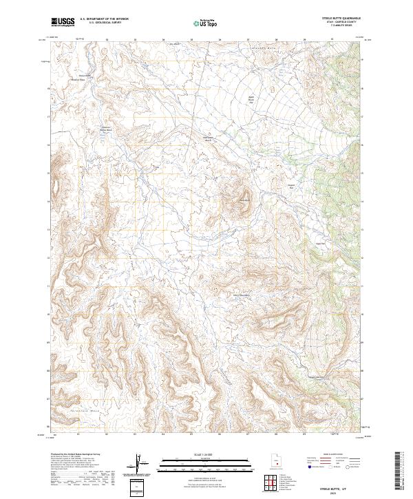
2023 Map of Steele Butte
USGS Topo · Published 2023About this map
Henry Mountains topography dominates this section of Garfield County, where the high desert landscape is defined by massive mesas and intricate drainage systems. The namesake Steele Butte rises above Dugout Flat, while water sources like Dave Teeples Spring and Dripping Rock Seep indicate the vital, scattered points of hydration in this arid environment. The map details a complex network of erosional features, from the broad expanse of Tarantula Mesa in the south to the deeply carved Seven Canyon and Five Canyon.
Find a feature on this map
21 named features on this map. Tap any name to fly to it.
Don’t see what you’re looking for? This feature index may not catch every label — zoom into the map to look around manually.
Map Details
Editions of this 2023 Steele Butte Map
This is the sole edition of this map. No revisions or reprints were ever made.
Other maps of this area

1885 · San Rafael
USGS Topo · 1:250,000

1885 · Fish Lake
USGS Topo · 1:250,000

1886 · Escalante
USGS Topo · 1:250,000

1886 · Henry Mountains
USGS Topo · 1:250,000

1892 · Henry Mountains
USGS Topo · 1:250,000

1896 · Fish Lake
USGS Topo · 1:250,000

1952 · Notom 4 SE
USGS Topo · 1:24,000

1952 · Mt Pennell 2 NE
USGS Topo · 1:24,000

1952 · Notom 4 NE
USGS Topo · 1:24,000

1952 · Notom
USGS Topo · 1:62,500