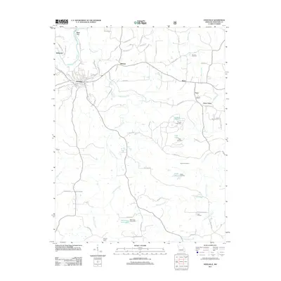
2011 Map of Steelville
USGS Topo · Published 2011About this map
The Meramec River winds through the northwestern corner of this Crawford County landscape, where the town of Steelville serves as a central hub. This early 21st-century survey documents a region defined by its numerous water sources, including Big Spring, Evans Spring, and Long Spring, alongside more modern developments like Helmering Farms Lake. The map provides excellent detail for family historians, noting several distinct burial grounds such as Moultray Cemetery, Edwards Cemetery, and Eaton Cemetery scattered across the countryside.
Find a feature on this map
76 named features on this map. Tap any name to fly to it.
Don’t see what you’re looking for? This feature index may not catch every label — zoom into the map to look around manually.
Map Details
Editions of this 2011 Steelville Map
This is the sole edition of this map. No revisions or reprints were ever made.
Other maps of this area

1903 · Sullivan
USGS Topo · 1:125,000

1932 · Steelville
USGS Topo · 1:48,000

1933 · Steelville
USGS Topo · 1:62,500

1937 · Steelville
USGS Topo · 1:62,500

1943 · Berryman
USGS Topo · 1:62,500

1945 · Berryman
USGS Topo · 1:62,500

1947 · Sullivan
USGS Topo · 1:62,500

1948 · Cuba
USGS Topo · 1:24,000

1948 · Leasburg
USGS Topo · 1:24,000

1949 · Saint Louis
USGS Topo · 1:250,000