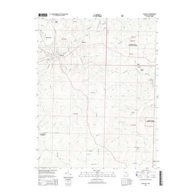
2015 Map of Steelville
USGS Topo · Published 2015About this map
Steelville serves as the primary hub of this Crawford County landscape, where the Meramec River and Whittenburg Cr wind through the hills. This modern survey illustrates the proximity of the town to vast tracts of the Mark Twain National Forest, particularly in the northeastern and southeastern corners of the quadrangle. Local genealogists will find significant value in the distribution of family-named burial sites, such as the Moultray Cemetery, Edwards Cemetery, and Eaton Cemetery. The map also captures several springs, including Big Spring and Collins Spring, which have long defined the water resources of the region. Transportation routes from the established Steelville grid extend toward smaller localities like Midland, Elaver, and the remote Lead Branch Junction. Water features like Helmering Farms Lake and Carden Lake provide a clear view of how land use and water management have shaped this Ozark territory in the twenty-first century.
Find a feature on this map
75 named features on this map. Tap any name to fly to it.
Don’t see what you’re looking for? This feature index may not catch every label — zoom into the map to look around manually.
Map Details
Editions of this 2015 Steelville Map
This is the sole edition of this map. No revisions or reprints were ever made.
Other maps of this area

1903 · Sullivan
USGS Topo · 1:125,000

1932 · Steelville
USGS Topo · 1:48,000

1933 · Steelville
USGS Topo · 1:62,500

1937 · Steelville
USGS Topo · 1:62,500

1943 · Berryman
USGS Topo · 1:62,500

1945 · Berryman
USGS Topo · 1:62,500

1947 · Sullivan
USGS Topo · 1:62,500

1948 · Cuba
USGS Topo · 1:24,000

1948 · Leasburg
USGS Topo · 1:24,000

1949 · Saint Louis
USGS Topo · 1:250,000