Loading...
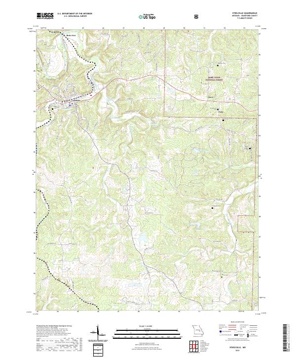
Loading map...2021 Map of Steelville
USGS Topo · Published 2021About this map
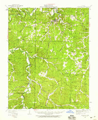
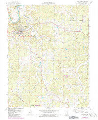
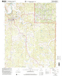
Steelville sits at the heart of this Crawford County landscape, where the Meramec River and Whittenburg Cr define the local drainage patterns. The town’s history is reflected in its street grid, featuring Main St and Frisco St, the latter nodding to the region's railroad heritage. To the east, the Mark Twain National Forest encompasses large tracts of wooded land, interspersed with small settlements such as Elaver and Patsy.
Find a feature on this map
77 named features on this map. Tap any name to fly to it.
Don’t see what you’re looking for? This feature index may not catch every label — zoom into the map to look around manually.
Map Details
Date Portrayed2021
Date Published2021
PublisherU.S. Geological Survey
Map TypeTopographic
Scale1:24000
Physical Dimensions24 x 29 inches
Editions of this 2021 Steelville Map
This is the sole edition of this map. No revisions or reprints were ever made.
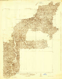
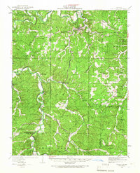
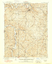
Historical Maps of Elaver Through Time
7 maps found
Featured Locations
Source Details
SourceU.S. Geological Survey
CopyrightPublic Domain