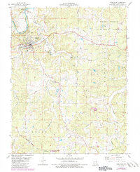
1978 Map of Steelville
USGS Topo · Published 1985About this map
The Meramec River winds through the northern portion of this quadrangle, supporting local recreation at Birds Nest Beach Park and the small settlement of Sankey. To the south, the city of Steelville serves as the regional hub, with its street grid anchored by the Steelville R-3 High Sch. The landscape is a complex network of narrow valleys and ridges, where the industrial legacy of the Ozarks is visible at the Midland Mine and various Iron Pits. Transportation and resource extraction are closely tied to the Burlington Northern railroad and an old railroad grade that cuts through the Mark Twain National Forest. Local genealogy is well-represented by rural landmarks like the Yadkin Cem and Moutray Cem, along with scattered congregations at United Ch and Straightway Ch. Southward, the Keysville Lookout Tower provides a strategic vantage point over the Keysville State Wildlife Management Area.
Find a feature on this map
41 named features on this map. Tap any name to fly to it.
Don’t see what you’re looking for? This feature index may not catch every label — zoom into the map to look around manually.
Map Details
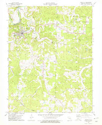
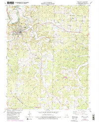
Editions of this 1978 Steelville Map
3 editions found
Other maps of this area

1903 · Sullivan
USGS Topo · 1:125,000

1932 · Steelville
USGS Topo · 1:48,000

1933 · Steelville
USGS Topo · 1:62,500

1937 · Steelville
USGS Topo · 1:62,500

1943 · Berryman
USGS Topo · 1:62,500

1945 · Berryman
USGS Topo · 1:62,500

1947 · Sullivan
USGS Topo · 1:62,500

1948 · Cuba
USGS Topo · 1:24,000

1948 · Leasburg
USGS Topo · 1:24,000

1949 · Saint Louis
USGS Topo · 1:250,000