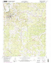
1978 Map of Steelville
USGS Topo · Published 1985About this map
Steelville serves as the focal point of this northern Ozark landscape, situated where the Burlington Northern railroad meets the valley of Yadkin Creek. The area’s economic history is etched into the terrain, from the Midland Mine and various Iron Pits to the agricultural reaches of Cherry Valley. Rural life is anchored by a network of country churches and family burial grounds, including Center Point Ch and Yadkin Cem. To the south, the Keysville State Wildlife Management Area and the Keysville Lookout Tower overlook the confluence of smaller tributaries like Whittenburg Creek. The map also reveals the natural significance of the Meramec River corridor, including the recreational Birds Nest Beach Park and several large springs such as Evans Spring and Collins Spring, which define the hydrology of this Crawford County region.
Find a feature on this map
40 named features on this map. Tap any name to fly to it.
Don’t see what you’re looking for? This feature index may not catch every label — zoom into the map to look around manually.
Map Details
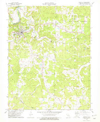
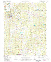
Editions of this 1978 Steelville Map
3 editions found
Other maps of this area

1903 · Sullivan
USGS Topo · 1:125,000

1932 · Steelville
USGS Topo · 1:48,000

1933 · Steelville
USGS Topo · 1:62,500

1937 · Steelville
USGS Topo · 1:62,500

1943 · Berryman
USGS Topo · 1:62,500

1945 · Berryman
USGS Topo · 1:62,500

1947 · Sullivan
USGS Topo · 1:62,500

1948 · Cuba
USGS Topo · 1:24,000

1948 · Leasburg
USGS Topo · 1:24,000

1949 · Saint Louis
USGS Topo · 1:250,000