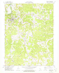
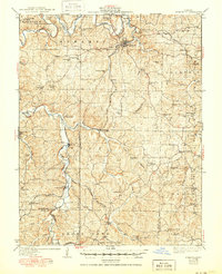
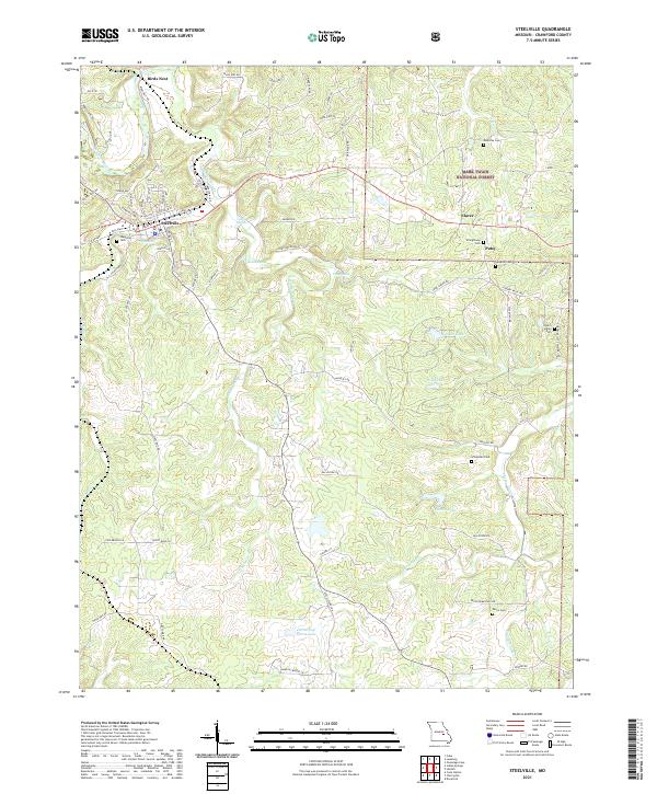
1978 Map of Steelville
USGS Topo · Published 1979About this map
Steelville serves as the primary hub for this Crawford County landscape during the late 1970s, situated where Yadkin Creek meets the northern flow of the Meramec River. The town is well-established with its Steelville R-3 High School, a Radio Tower, and nearby rural neighborhoods like Sankey. The topography transitions into the Courtois Hills to the southeast, an area dominated by the Mark Twain National Forest.
Find a feature on this map
36 named features on this map. Tap any name to fly to it.
Don’t see what you’re looking for? This feature index may not catch every label — zoom into the map to look around manually.
Map Details
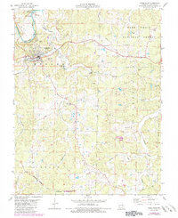
Editions of this 1978 Steelville Map
3 editions found
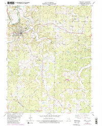
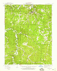
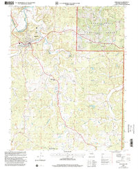
Historical Maps of Steelville Through Time
10 maps found
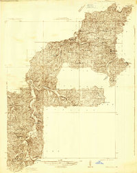
1932 Steelville
Crawford County, MO
1933 Steelville
Crawford County, MO
1937 Steelville
Crawford County, MO
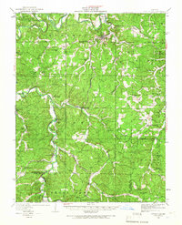
1949 Steelville
Crawford County, MO
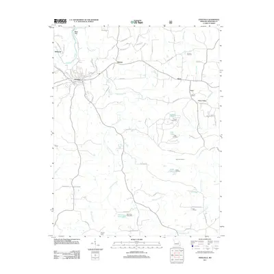
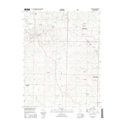
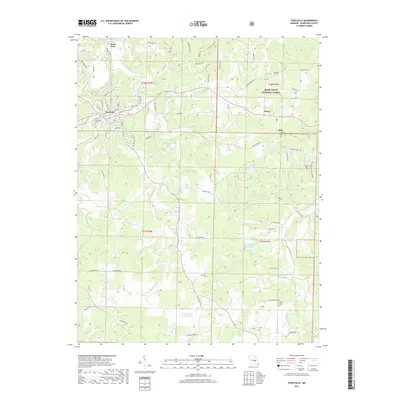
1978 Steelville
Crawford County, MO
1999 Steelville
Crawford County, MO
2011 Steelville
Crawford County, MO
2015 Steelville
Crawford County, MO
2017 Steelville
Crawford County, MO
2021 Steelville
Crawford County, MO