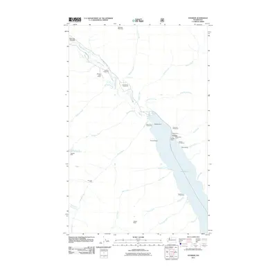
2011 Map of Stehekin
USGS Topo · Published 2011About this map
Lake Chelan serves as the primary gateway to the northern wilderness in this 2011 survey of the upper valley. The settlement of Stehekin centers on its vital transport links, including the Stehekin Ferry Landing, the Stehekin Boat Launch, and the Stehekin State Airport. Land travel is restricted to local corridors such as the Stehekin Valley Rd and Company Cr Rd, reflecting the area's isolation from the regional highway system.
Find a feature on this map
42 named features on this map. Tap any name to fly to it.
Don’t see what you’re looking for? This feature index may not catch every label — zoom into the map to look around manually.
Map Details
Editions of this 2011 Stehekin Map
This is the sole edition of this map. No revisions or reprints were ever made.
Other maps of this area

1902 · Stehekin
USGS Topo · 1:125,000

1904 · Stehekin
USGS Topo · 1:125,000

1944 · Holden
USGS Topo · 1:62,500

1944 · Lucerne
USGS Topo · 1:62,500

1949 · Lucerne
USGS Topo · 1:62,500

1949 · Holden
USGS Topo · 1:62,500

1955 · Concrete
USGS Topo · 1:250,000

1958 · Concrete
USGS Topo · 1:250,000

1962 · Concrete
USGS Topo · 1:250,000

1963 · Mc Gregor Mtn
USGS Topo · 1:24,000