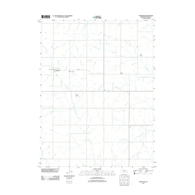
2011 Map of Steinauer
USGS Topo · Published 2011About this map
Steinauer and its surrounding rural landscapes in Pawnee County are documented in this 2011 survey, showing a community structured by early agricultural development and creek-side settlements. The town center is anchored by the Steinauer Post Office, while the surrounding section lines carry local routes like Josephine St and St Spur 67B. The drainage patterns of the region are dominated by Turkey Creek and Elk Creek, which feed into various tributaries such as Cooper Branch and Taylor Branch. Genealogists will find significant value in the distribution of local burial grounds, including Saint Anthonys Cemetery near the village and the more isolated Beranek Cemetery and Clear Creek Cemetery. The map also identifies the Bernadt Airport, reflecting the persistence of small-scale aviation infrastructure within this traditional Nebraska farming landscape.
Find a feature on this map
16 named features on this map. Tap any name to fly to it.
Don’t see what you’re looking for? This feature index may not catch every label — zoom into the map to look around manually.
Map Details
Editions of this 2011 Steinauer Map
This is the sole edition of this map. No revisions or reprints were ever made.
Other maps of this area

1955 · Lincoln
USGS Topo · 1:250,000

1957 · Lincoln
USGS Topo · 1:250,000

1958 · Lincoln
USGS Topo · 1:250,000

1965 · Pawnee City
USGS Topo · 1:24,000

1965 · Burchard
USGS Topo · 1:24,000

1965 · Table Rock
USGS Topo · 1:24,000

1965 · Tecumseh
USGS Topo · 1:24,000
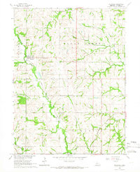
1965 · Steinauer
USGS Topo · 1:24,000
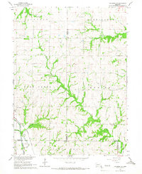
1965 · Tecumseh SE
USGS Topo · 1:24,000
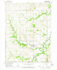
1965 · Du Bois
USGS Topo · 1:24,000