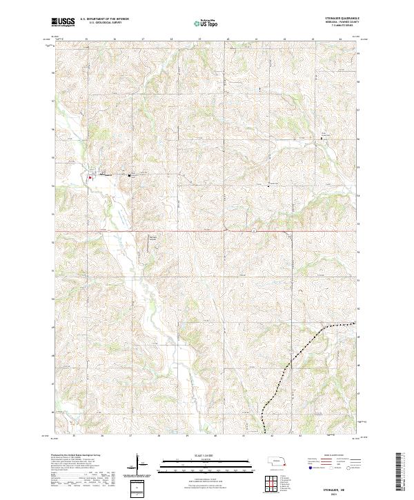
2021 Map of Steinauer
USGS Topo · Published 2021About this map
The village of Steinauer serves as the focal point for this rural landscape in Pawnee County, Nebraska. This section of the Great Plains is defined by a dense network of winding drainage branches, including Turkey Creek, Clear Creek, and Rock Creek, which cut through the agricultural sections. The settlement pattern remains deeply tied to early local families and community institutions, evidenced by the presence of Saint Anthonys Cem, Beranek Cemetery, and Clear Creek Cemetery.
Find a feature on this map
46 named features on this map. Tap any name to fly to it.
Don’t see what you’re looking for? This feature index may not catch every label — zoom into the map to look around manually.
Map Details
Editions of this 2021 Steinauer Map
This is the sole edition of this map. No revisions or reprints were ever made.
Other maps of this area

1955 · Lincoln
USGS Topo · 1:250,000

1957 · Lincoln
USGS Topo · 1:250,000

1958 · Lincoln
USGS Topo · 1:250,000

1965 · Pawnee City
USGS Topo · 1:24,000

1965 · Burchard
USGS Topo · 1:24,000

1965 · Table Rock
USGS Topo · 1:24,000

1965 · Tecumseh
USGS Topo · 1:24,000
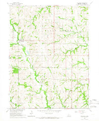
1965 · Steinauer
USGS Topo · 1:24,000
1965 · Tecumseh SE
USGS Topo · 1:24,000
1965 · Du Bois
USGS Topo · 1:24,000