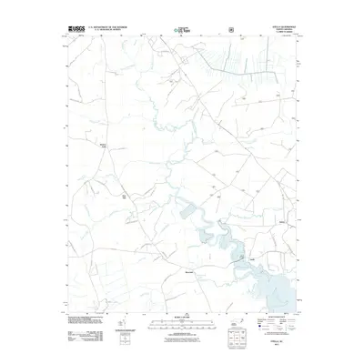
2011 Map of Stella
USGS Topo · Published 2011About this map
The White Oak River defines this coastal landscape as it meanders through the marshy lowlands of Onslow County. The settlement of Stella sits prominently along its banks, connected by the Stella Bridge, a vital crossing point in the river's winding course. This era shows a network of established crossroads and rural communities, including Silverdale, Pala Alto, and Morton Fork.
Find a feature on this map
55 named features on this map. Tap any name to fly to it.
Don’t see what you’re looking for? This feature index may not catch every label — zoom into the map to look around manually.
Map Details
Editions of this 2011 Stella Map
This is the sole edition of this map. No revisions or reprints were ever made.
Other maps of this area
1942 · Maysville
USGS Topo · 1:62,500
1942 · Swansboro
USGS Topo · 1:62,500
1943 · Jacksonville
USGS Topo · 1:62,500
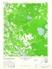
1948 · Maysville
USGS Topo · 1:62,500
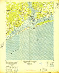
1948 · Swansboro
USGS Topo · 1:62,500
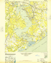
1948 · New River
USGS Topo · 1:62,500
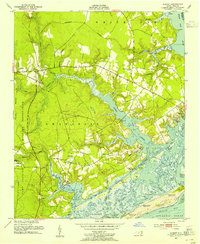
1952 · Hubert
USGS Topo · 1:24,000
1952 · Camp Lejeune
USGS Topo · 1:24,000
1952 · Swansboro
USGS Topo · 1:24,000
1953 · Beaufort
USGS Topo · 1:250,000