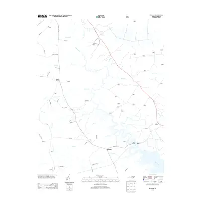
2013 Map of Stella
USGS Topo · Published 2013About this map
The White Oak River meanders south toward the coast, defining the settlement patterns and drainage of this coastal plain region. The small community of Stella sits at a narrow point in the river, connected by the Stella Bridge to the surrounding woodland and fields. This 2013 survey illustrates a landscape of established hamlets such as Silverdale and Pala Alto, where residential roads like Hadnot Branch Ln and Brighttown Rd weave between numerous small tributaries. The drainage network is particularly dense here, with Grants Cr, Calebs Cr, and Hunters Cr carving through the low-lying terrain. To the north, the confluence at Morton Fork and the remote landing at Longpoint Landing reflect the area's historical reliance on both water access and early crossroads for local commerce and transport.
Find a feature on this map
58 named features on this map. Tap any name to fly to it.
Don’t see what you’re looking for? This feature index may not catch every label — zoom into the map to look around manually.
Map Details
Editions of this 2013 Stella Map
This is the sole edition of this map. No revisions or reprints were ever made.
Other maps of this area

1942 · Maysville
USGS Topo · 1:62,500

1942 · Swansboro
USGS Topo · 1:62,500

1943 · Jacksonville
USGS Topo · 1:62,500

1948 · Maysville
USGS Topo · 1:62,500

1948 · Swansboro
USGS Topo · 1:62,500

1948 · New River
USGS Topo · 1:62,500

1952 · Hubert
USGS Topo · 1:24,000

1952 · Camp Lejeune
USGS Topo · 1:24,000

1952 · Swansboro
USGS Topo · 1:24,000

1953 · Beaufort
USGS Topo · 1:250,000