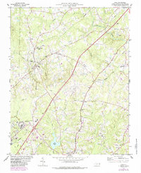
2022 Map of Stem
USGS Topo · Published 2022About this map
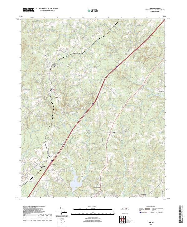
Stem and Creedmoor anchor this southern Granville County landscape, where the Piedmont terrain is defined by the drainage basins of the Tar River and its numerous tributaries. The map documents a corridor of settlement stretching from Shoofly in the north through Hester and down to Mount Energy in the southeast. A significant portion of the southwestern quadrant is occupied by Butner, showing a dense network of residential streets and infrastructure that contrasts with the more rural, creek-carved topography to the east. Water features like Caldmont Lake and the winding courses of Jackson Cr and Ledge Creek illustrate the natural drainage patterns that have historically dictated road placement and land use in this part of North Carolina. The presence of Community Memorial Gardens and small named settlements like Lyons provides specific points of interest for those tracing local family histories and the evolution of Granville County communities.
Find a feature on this map
97 named features on this map. Tap any name to fly to it.
Don’t see what you’re looking for? This feature index may not catch every label — zoom into the map to look around manually.
Map Details
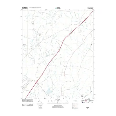
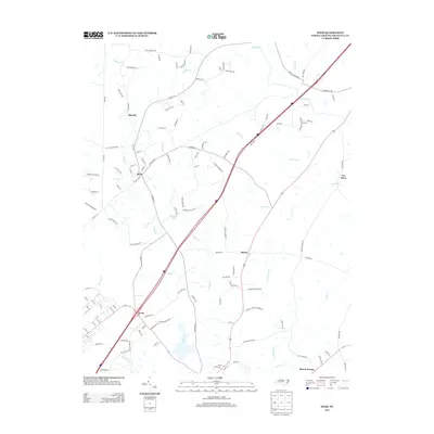
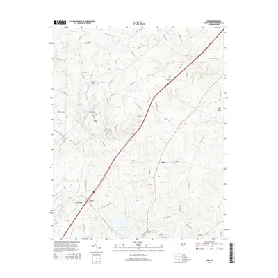
Editions of this 2022 Stem Map
This is the sole edition of this map. No revisions or reprints were ever made.
Historical Maps of Butner Through Time
6 maps found