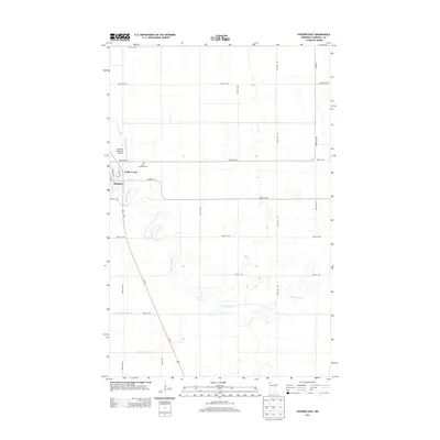
2013 Map of Stephen East
USGS Topo · Published 2013About this map
Stephen stands as the primary hub of this Red River Valley landscape, where the Tamarac River meanders through an otherwise strictly gridded agricultural interior. The map documents the community's layout, including the residential area of Valley Court and the nearby Saint Stephen Cem. The surrounding plains are defined by an extensive drainage network, featuring significant man-made channels like Lateral Number One and Lateral Number Two that support the region's intensive farming. Transportation infrastructure is anchored by the corridor of Us-75, while the Stephen Municipal Airport provides a modern aviation link to this rural Marshall County locale. This survey provides a clear view of the intersection between natural river hydrology and the engineered geometry of Northwest Minnesota's section lines.
Find a feature on this map
25 named features on this map. Tap any name to fly to it.
Don’t see what you’re looking for? This feature index may not catch every label — zoom into the map to look around manually.
Map Details
Editions of this 2013 Stephen East Map
This is the sole edition of this map. No revisions or reprints were ever made.
Other maps of this area

1918 · Argyle
USGS Topo · 1:62,500

1939 · Kennedy
USGS Topo · 1:62,500

1941 · Kennedy
USGS Topo · 1:62,500

1952 · Thief River Falls
USGS Topo · 1:250,000

1954 · Stephen
USGS Topo · 1:62,500

1956 · Thief River Falls
USGS Topo · 1:250,000

1956 · Karlstad
USGS Topo · 1:62,500

1956 · Florian
USGS Topo · 1:62,500

1957 · Thief River Falls
USGS Topo · 1:250,000

1967 · Thief River Falls
USGS Topo · 1:250,000