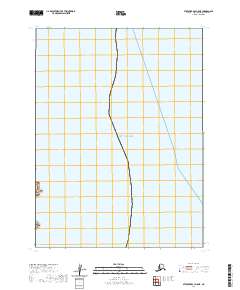
2020 Map of Stepovak Bay A-5 NE
USGS Topo · Published 2020About this map
The Gulf of Alaska shoreline defines this coastal survey, where the terrestrial landscape meets the North Pacific along the remote Alaska Peninsula. The topography is sparse, primarily serving as a reference for the maritime boundary and the Public Land Survey System divisions of T57s R67w and T58s R67w. While devoid of named settlements or inland landmarks, the map meticulously charts the coastal contour and the grid system used to organize this undeveloped reach of the Aleutians East Borough. It offers a clear view of the interface between the open ocean and the rugged, unnamed landmass as it appeared during the 2010 imagery cycle.
Find a feature on this map
3 named features on this map. Tap any name to fly to it.
Don’t see what you’re looking for? This feature index may not catch every label — zoom into the map to look around manually.
Map Details
Editions of this 2020 Stepovak Bay A-5 NE Map
This is the sole edition of this map. No revisions or reprints were ever made.
Other maps of this area

1951 · Stepovak Bay
USGS Topo · 1:250,000
1963 · Stepovak Bay A-5
USGS Topo · 1:63,360

1963 · Stepovak Bay
USGS Topo · 1:250,000

1969 · Stepovak Bay
USGS Topo · 1:250,000
2020 · Stepovak Bay A-5 SW
USGS Topo · 1:25,000
2020 · Stepovak Bay A-5 OE E SW
USGS Topo · 1:25,000
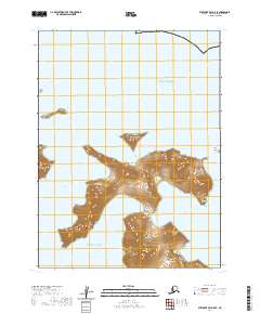
2020 · Stepovak Bay A-5 SE
USGS Topo · 1:25,000
2020 · Stepovak Bay A-5 OE N SW
USGS Topo · 1:25,000
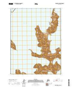
2020 · Stepovak Bay A-5 NW
USGS Topo · 1:25,000