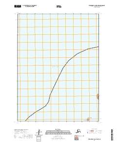
2020 Map of Stepovak Bay A-5 OE N SW
USGS Topo · Published 2020About this map
The Pacific Ocean dominates this maritime survey of the Aleutians East region, where the coastline of the Alaska Peninsula meets the sea. This specific area is defined by the rugged interface of water and land, characterized by the prominence of Cape Thompson at the southern edge. Just offshore, the presence of Koniuji Island serves as a critical navigational marker for this stretch of the northern Pacific. The map provides a precise layout of the Public Land Survey System, showing the intersections of t56s r67w, t57s r68w, and t57s r67w as they extend across the water and coastal terrain. This 2020 record captures a sparsely populated but geographically significant portion of the peninsula before the modern shift in coastal mapping standards.
Find a feature on this map
6 named features on this map. Tap any name to fly to it.
Don’t see what you’re looking for? This feature index may not catch every label — zoom into the map to look around manually.
Map Details
Editions of this 2020 Stepovak Bay A-5 OE N SW Map
This is the sole edition of this map. No revisions or reprints were ever made.
Other maps of this area

1951 · Stepovak Bay
USGS Topo · 1:250,000
1963 · Stepovak Bay A-6
USGS Topo · 1:63,360
1963 · Stepovak Bay B-6
USGS Topo · 1:63,360
1963 · Stepovak Bay A-5
USGS Topo · 1:63,360

1963 · Stepovak Bay
USGS Topo · 1:250,000

1969 · Stepovak Bay
USGS Topo · 1:250,000
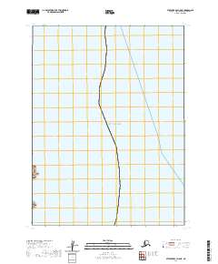
2020 · Stepovak Bay A-5 NE
USGS Topo · 1:25,000
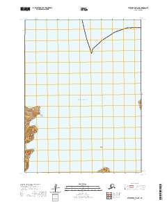
2020 · Stepovak Bay A-6 NE
USGS Topo · 1:25,000
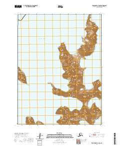
2020 · Stepovak Bay A-5 NW
USGS Topo · 1:25,000