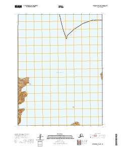
2020 Map of Stepovak Bay A-6 NE
USGS Topo · Published 2020About this map
East Nagai Strait separates the island topography of the Aleutian chain in this remote coastal survey. The map focuses on the maritime environment and the fragmented landmasses of the Aleutians East Borough, where the Pacific Ocean meets the complex coastline of the archipelago. Significant landforms include the southern reaches of Spectacle Island, which rises from the sea in the southwestern corner of the sheet. The terrain is defined by steep coastal bluffs and narrow shorelines, reflecting the volcanic and tectonic origins of the region. This 2020 edition provides precise bathymetric and topographic data for a section of the Shumagin Islands, capturing the precise coordinates of the Pacific Ocean as it interacts with these isolated landmasses.
Find a feature on this map
7 named features on this map. Tap any name to fly to it.
Don’t see what you’re looking for? This feature index may not catch every label — zoom into the map to look around manually.
Map Details
Editions of this 2020 Stepovak Bay A-6 NE Map
This is the sole edition of this map. No revisions or reprints were ever made.
Other maps of this area

1951 · Stepovak Bay
USGS Topo · 1:250,000
1963 · Stepovak Bay A-6
USGS Topo · 1:63,360
1963 · Stepovak Bay B-6
USGS Topo · 1:63,360
1963 · Stepovak Bay A-5
USGS Topo · 1:63,360

1963 · Stepovak Bay
USGS Topo · 1:250,000

1969 · Stepovak Bay
USGS Topo · 1:250,000
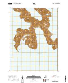
2020 · Stepovak Bay A-5 SW
USGS Topo · 1:25,000
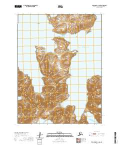
2020 · Stepovak Bay A-6 NW
USGS Topo · 1:25,000
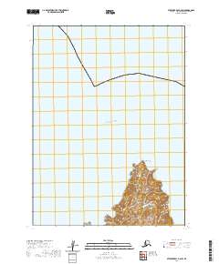
2020 · Stepovak Bay B-6 SW
USGS Topo · 1:25,000
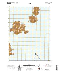
2020 · Stepovak Bay A-6 SE
USGS Topo · 1:25,000