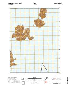
2020 Map of Stepovak Bay A-6 SE
USGS Topo · Published 2020About this map
Bendel Island rises from the cold waters of the Pacific Ocean in this coastal survey of the Aleutians East Borough. The terrain is defined by steep topographic relief, with the island's high points reaching elevations over 1,000 feet directly from the shoreline. This maritime landscape in the Stepovak Bay area remains largely uninhabited and undeveloped, as indicated by the absence of roads, structures, or named settlements. The surrounding waters of the North Pacific and the precise coastal indentations of the island provide a clear view of the geographic isolation characteristic of this part of the Alaska Peninsula region. The map emphasizes natural bathymetry and elevation data rather than human infrastructure, serving as a record of the raw coastline and island topography of the outer Aleutian chain.
Find a feature on this map
7 named features on this map. Tap any name to fly to it.
Don’t see what you’re looking for? This feature index may not catch every label — zoom into the map to look around manually.
Map Details
Editions of this 2020 Stepovak Bay A-6 SE Map
This is the sole edition of this map. No revisions or reprints were ever made.
Other maps of this area

1951 · Stepovak Bay
USGS Topo · 1:250,000
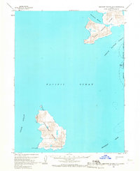
1963 · Simeonof Island D-2
USGS Topo · 1:63,360
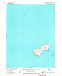
1963 · Simeonof Island D-3
USGS Topo · 1:63,360
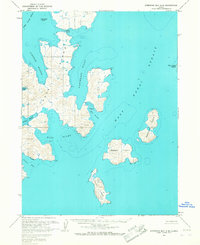
1963 · Stepovak Bay A-6
USGS Topo · 1:63,360
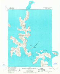
1963 · Stepovak Bay A-5
USGS Topo · 1:63,360

1963 · Simeonof Island
USGS Topo · 1:250,000

1963 · Stepovak Bay
USGS Topo · 1:250,000

1967 · Simeonof Island
USGS Topo · 1:250,000

1969 · Stepovak Bay
USGS Topo · 1:250,000
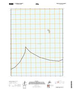
2020 · Simeonof Island D-3 NW
USGS Topo · 1:25,000