
1951 Map of Stepovak Bay
USGS Topo · Published 1952About this map
Perryville stands as a primary coastal settlement along the southeastern edge of the Alaska Peninsula, overlooking a complex network of bays and archipelagos in the early 1950s. The landscape is defined by the proximity of the Pacific Ocean to the rugged interior, with distinct features like the Granville Portage suggesting historical transit routes across the peninsula's narrow neck. Along the coast, small outposts and maritime landmarks such as Bales Ldg and Louies Corner mark the era's human footprint.
Find a feature on this map
84 named features on this map. Tap any name to fly to it.
Don’t see what you’re looking for? This feature index may not catch every label — zoom into the map to look around manually.
Map Details
Editions of this 1951 Stepovak Bay Map
This is the sole edition of this map. No revisions or reprints were ever made.
Other maps of this area

1951 · Sutwik Island
USGS Topo · 1:250,000

1953 · Port Moller
USGS Topo · 1:250,000

1963 · Port Moller A-1
USGS Topo · 1:63,360

1963 · Stepovak Bay D-2
USGS Topo · 1:63,360

1963 · Chignik A-4
USGS Topo · 1:63,360
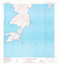
1963 · Stepovak Bay C-5 and C-6
USGS Topo · 1:63,360

1963 · Stepovak Bay D-4
USGS Topo · 1:63,360

1963 · Chignik A-6
USGS Topo · 1:63,360
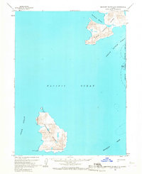
1963 · Simeonof Island D-2
USGS Topo · 1:63,360

1963 · Simeonof Island D-1
USGS Topo · 1:63,360