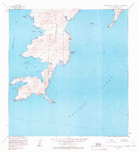
1963 Map of Stepovak Bay C-5 and C-6
USGS Topo · Published 1967About this map
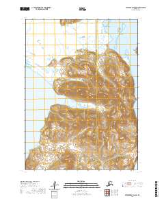
The Kupreanof Peninsula dominates this coastal survey, reaching south into the Pacific Ocean with a complex shoreline of inlets and dramatic headlands. This 1963 field-annotated map reveals a maritime landscape shaped by tidal forces and steep elevation changes, with Hag Peak standing as a primary landmark above the eastern shore. Navigation and geographic orientation are defined by distinct coastal markers such as Fox Cape, Kupreanof Point, and Bluff Point. In the surrounding waters, the survey details the positions of Jacob Island and Leader Island to the east, while Stepovak Bay and Island Bay provide sheltered waters to the west. Broad Tidal Flats are indicated near the land bridges, reflecting the significant intertidal zones of the Alaska Peninsula during the early 1960s.
Find a feature on this map
17 named features on this map. Tap any name to fly to it.
Don’t see what you’re looking for? This feature index may not catch every label — zoom into the map to look around manually.
Map Details
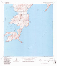
Editions of this 1963 Stepovak Bay C-5 and C-6 Map
2 editions found
Other maps of this area

1951 · Stepovak Bay
USGS Topo · 1:250,000

1963 · Stepovak Bay D-4
USGS Topo · 1:63,360

1963 · Stepovak Bay D-6
USGS Topo · 1:63,360
1963 · Stepovak Bay B-6
USGS Topo · 1:63,360

1963 · Stepovak Bay D-5
USGS Topo · 1:63,360

1963 · Stepovak Bay
USGS Topo · 1:250,000

1969 · Stepovak Bay
USGS Topo · 1:250,000
2020 · Stepovak Bay C-5 SW
USGS Topo · 1:25,000
2020 · Stepovak Bay D-5 SW
USGS Topo · 1:25,000
2020 · Stepovak Bay C-5 NE
USGS Topo · 1:25,000