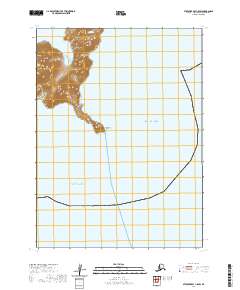
2020 Map of Stepovak Bay C-5 SW
USGS Topo · Published 2020About this map
Kupreanof Point serves as a prominent maritime landmark at the edge of the Alaska Peninsula on this 2020 survey. The terrain here is dominated by a narrow, steep peninsula that extends southward, dividing the waters of the Gulf of Alaska to the east from the broader Pacific Ocean to the west. This topographical study captures a stark coastal environment where high-relief landforms drop abruptly into the sea, illustrating the transition between terrestrial and marine zones in the Aleutians East Borough. The survey grid for t53s r68w and t53s r67w frames the coastline, highlighting the geographic isolation of this peninsula tip, which lacks roads or named settlements, emphasizing its role purely as a navigational and physical boundary between two major bodies of water.
Find a feature on this map
5 named features on this map. Tap any name to fly to it.
Don’t see what you’re looking for? This feature index may not catch every label — zoom into the map to look around manually.
Map Details
Editions of this 2020 Stepovak Bay C-5 SW Map
This is the sole edition of this map. No revisions or reprints were ever made.
Other maps of this area

1951 · Stepovak Bay
USGS Topo · 1:250,000
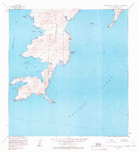
1963 · Stepovak Bay C-5 and C-6
USGS Topo · 1:63,360
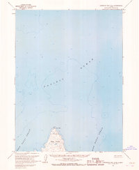
1963 · Stepovak Bay B-6
USGS Topo · 1:63,360

1963 · Stepovak Bay
USGS Topo · 1:250,000

1969 · Stepovak Bay
USGS Topo · 1:250,000
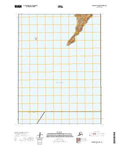
2020 · Stepovak Bay C-5 NE
USGS Topo · 1:25,000
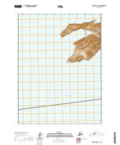
2020 · Stepovak Bay C-6 SE
USGS Topo · 1:25,000
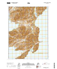
2020 · Stepovak Bay C-5 NW
USGS Topo · 1:25,000
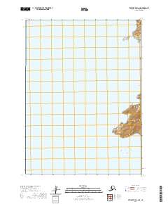
2020 · Stepovak Bay C-6 NE
USGS Topo · 1:25,000