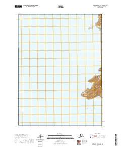
2020 Map of Stepovak Bay C-6 NE
USGS Topo · Published 2020About this map
Stepovak Bay and its complex coastal inlets define this remote maritime landscape along the Alaska Peninsula. The territory is dominated by the reach of Island Bay and Fox Bay, where the coastline is broken by prominent features like Dome Point and the isolated Pad Island. This area remains largely undeveloped, with no roads or settlements recorded, highlighting the preservation of the natural shoreline and local topography. The map illustrates the rugged coastal interfaces where the sea meets the peninsula's steep landforms, providing a precise look at the uninhabited land within the t51s r68w and t52s r67w survey blocks. For researchers of Alaskan geography, it offers a detailed look at the unblemished coastal contours of the Aleutians East Borough.
Find a feature on this map
9 named features on this map. Tap any name to fly to it.
Don’t see what you’re looking for? This feature index may not catch every label — zoom into the map to look around manually.
Map Details
Editions of this 2020 Stepovak Bay C-6 NE Map
This is the sole edition of this map. No revisions or reprints were ever made.
Other maps of this area

1951 · Stepovak Bay
USGS Topo · 1:250,000
1963 · Stepovak Bay C-5 and C-6
USGS Topo · 1:63,360

1963 · Stepovak Bay D-6
USGS Topo · 1:63,360

1963 · Stepovak Bay D-5
USGS Topo · 1:63,360

1963 · Stepovak Bay
USGS Topo · 1:250,000

1969 · Stepovak Bay
USGS Topo · 1:250,000
2020 · Stepovak Bay D-6 SW
USGS Topo · 1:25,000
2020 · Stepovak Bay C-5 SW
USGS Topo · 1:25,000
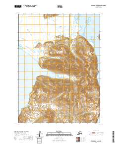
2020 · Stepovak Bay D-5 SW
USGS Topo · 1:25,000
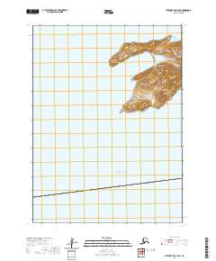
2020 · Stepovak Bay C-6 SE
USGS Topo · 1:25,000