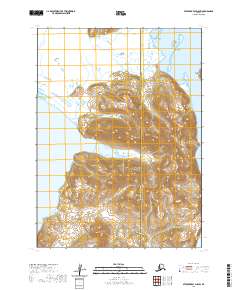
2020 Map of Stepovak Bay D-5 SW
USGS Topo · Published 2020About this map
Kupreanof Peninsula dominates this maritime landscape along the southern coast of the Alaska Peninsula, where the waters of Stepovak Bay meet steep coastal elevations. The transition from the tidal reaches of Stepanof Flats to the narrow land bridge at Granville Portage illustrates the geographical challenges of this shoreline. To the north, Smoky Hollow sits tucked behind James Island, while the southern reaches are drained by Osterback Creek. This modern survey by the U.S. Geological Survey captures the intricate coastline and relief of a region where the borough boundary between Aleutians East and Lake and Peninsula divides the rugged interior. The map detail highlights the isolation of landforms like Road Island and the complex topography that historically necessitated portage routes across the peninsula's narrowest points.
Find a feature on this map
13 named features on this map. Tap any name to fly to it.
Don’t see what you’re looking for? This feature index may not catch every label — zoom into the map to look around manually.
Map Details
Editions of this 2020 Stepovak Bay D-5 SW Map
This is the sole edition of this map. No revisions or reprints were ever made.
Other maps of this area

1951 · Stepovak Bay
USGS Topo · 1:250,000
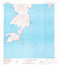
1963 · Stepovak Bay C-5 and C-6
USGS Topo · 1:63,360

1963 · Stepovak Bay D-6
USGS Topo · 1:63,360

1963 · Stepovak Bay D-5
USGS Topo · 1:63,360

1963 · Stepovak Bay
USGS Topo · 1:250,000

1969 · Stepovak Bay
USGS Topo · 1:250,000
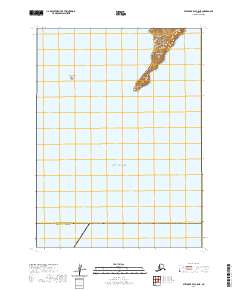
2020 · Stepovak Bay C-5 NE
USGS Topo · 1:25,000
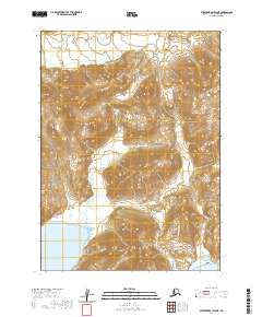
2020 · Stepovak Bay D-5 NE
USGS Topo · 1:25,000
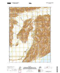
2020 · Stepovak Bay D-5 NW
USGS Topo · 1:25,000
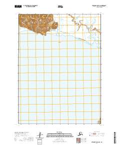
2020 · Stepovak Bay D-6 SE
USGS Topo · 1:25,000