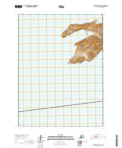
2020 Map of Stepovak Bay C-6 SE
USGS Topo · Published 2020About this map
The Alaska Peninsula meets the cold waters of the North Pacific in this high-resolution study of a remote coastal stretch. Defined by the steep, volcanic topography of the Aleutian Range, the landscape here is dominated by sharp elevation changes that drop precipitously from over a thousand feet into the sea. The coastline is broken by Boulder Bay, a sheltered inlet protected by the prominent geography of Cub Point to the north and Bluff Point to the south. This 2020 edition provides a precise look at the land-water interface before the open Pacific Ocean, where no roads or settlements exist, only the raw maritime terrain typical of the Aleutians East Borough.
Find a feature on this map
7 named features on this map. Tap any name to fly to it.
Don’t see what you’re looking for? This feature index may not catch every label — zoom into the map to look around manually.
Map Details
Editions of this 2020 Stepovak Bay C-6 SE Map
This is the sole edition of this map. No revisions or reprints were ever made.
Other maps of this area

1951 · Stepovak Bay
USGS Topo · 1:250,000
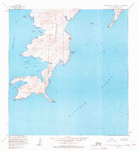
1963 · Stepovak Bay C-5 and C-6
USGS Topo · 1:63,360
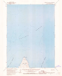
1963 · Stepovak Bay B-6
USGS Topo · 1:63,360

1963 · Stepovak Bay
USGS Topo · 1:250,000

1969 · Stepovak Bay
USGS Topo · 1:250,000
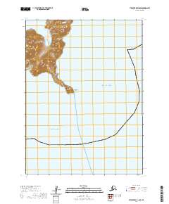
2020 · Stepovak Bay C-5 SW
USGS Topo · 1:25,000
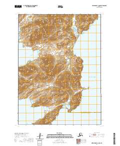
2020 · Stepovak Bay C-5 NW
USGS Topo · 1:25,000
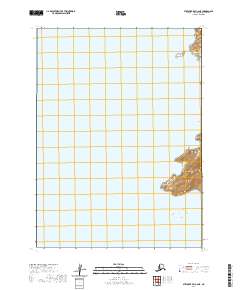
2020 · Stepovak Bay C-6 NE
USGS Topo · 1:25,000