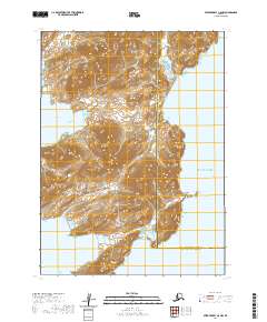
2020 Map of Stepovak Bay C-5 NW
USGS Topo · Published 2020About this map
The Kupreanof Peninsula dominates this coastal landscape on the edge of the Gulf of Alaska, where the sharp relief of the Aleutian Range Alaska Peninsula meets the sea. This 2020 survey documents a transition point along the jagged coastline of the Aleutians East Borough, featuring prominent maritime landmarks such as Hag Peak and the southern reach of Fox Cape. To the west, the protected waters of Island Bay and Fox Bay offer a glimpse into the natural harbors that have historically provided shelter in an otherwise exposed maritime environment. The intricate contour lines across the peninsula illustrate the steep, unforgiving terrain typical of this volcanic arc, providing essential data for those studying the physical geography of the Alaska Peninsula.
Find a feature on this map
15 named features on this map. Tap any name to fly to it.
Don’t see what you’re looking for? This feature index may not catch every label — zoom into the map to look around manually.
Map Details
Editions of this 2020 Stepovak Bay C-5 NW Map
This is the sole edition of this map. No revisions or reprints were ever made.
Other maps of this area

1951 · Stepovak Bay
USGS Topo · 1:250,000
1963 · Stepovak Bay C-5 and C-6
USGS Topo · 1:63,360

1963 · Stepovak Bay D-6
USGS Topo · 1:63,360

1963 · Stepovak Bay D-5
USGS Topo · 1:63,360

1963 · Stepovak Bay
USGS Topo · 1:250,000

1969 · Stepovak Bay
USGS Topo · 1:250,000
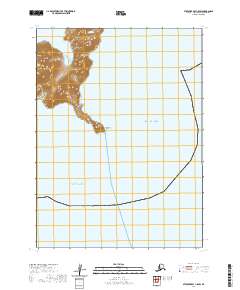
2020 · Stepovak Bay C-5 SW
USGS Topo · 1:25,000
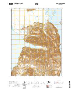
2020 · Stepovak Bay D-5 SW
USGS Topo · 1:25,000
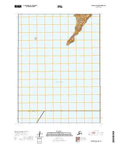
2020 · Stepovak Bay C-5 NE
USGS Topo · 1:25,000
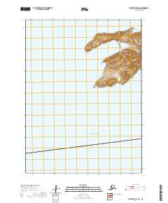
2020 · Stepovak Bay C-6 SE
USGS Topo · 1:25,000