
1969 Map of Stepovak Bay
USGS Topo · Published 1969About this map
The settlement of Perryville anchors the northern coastline of the Alaska Peninsula in this 1969 topographic study, situated near the mouth of the Kametolook River. This coastal landscape is defined by its complex maritime geography, where the Kupreanof Peninsula divides the waters of Stepovak Bay and Ivanof Bay. Further offshore, the Shumagin Islands rise from the Pacific Ocean, including the large landmass of Nagai Island and the smaller Chiachi Islands. The map detail highlights the region's reliance on sea and air transport, noting a landing area and seaplane anchorage near Chiachi Island. These features, along with coastal markers like Coal Cape and Fox Cape, provide essential navigational context for a region defined by its volcanic geology and seafaring heritage.
Find a feature on this map
74 named features on this map. Tap any name to fly to it.
Don’t see what you’re looking for? This feature index may not catch every label — zoom into the map to look around manually.
Map Details
Editions of this 1969 Stepovak Bay Map
This is the sole edition of this map. No revisions or reprints were ever made.
Other maps of this area

1951 · Stepovak Bay
USGS Topo · 1:250,000

1951 · Sutwik Island
USGS Topo · 1:250,000

1953 · Port Moller
USGS Topo · 1:250,000

1963 · Port Moller A-1
USGS Topo · 1:63,360

1963 · Stepovak Bay D-2
USGS Topo · 1:63,360

1963 · Chignik A-4
USGS Topo · 1:63,360
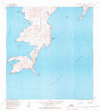
1963 · Stepovak Bay C-5 and C-6
USGS Topo · 1:63,360

1963 · Stepovak Bay D-4
USGS Topo · 1:63,360

1963 · Chignik A-6
USGS Topo · 1:63,360
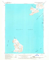
1963 · Simeonof Island D-2
USGS Topo · 1:63,360