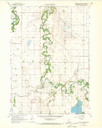
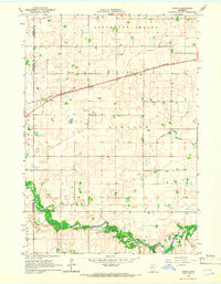
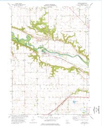
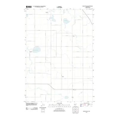
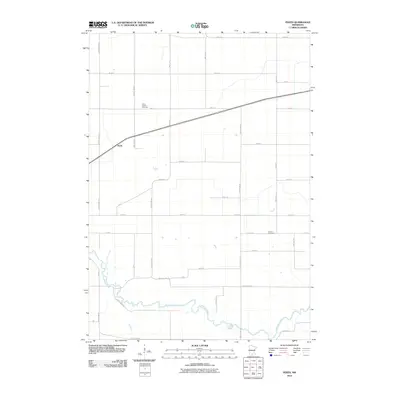
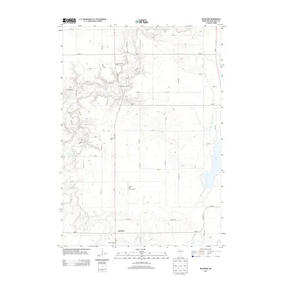
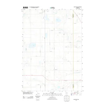
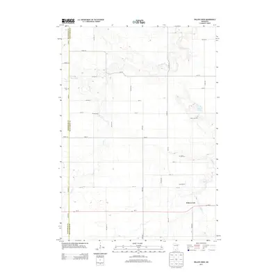
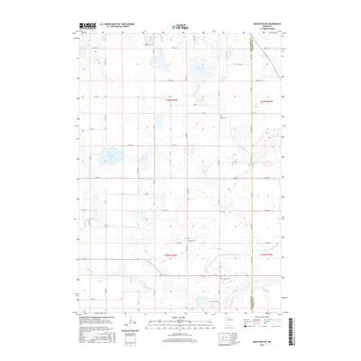
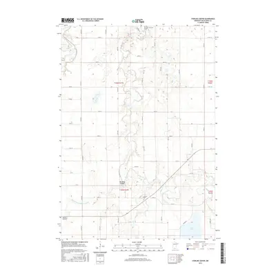
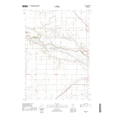
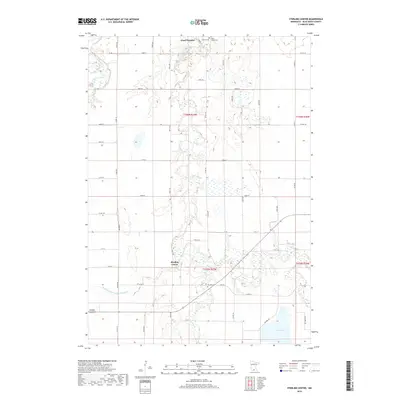
1967 Map of Sterling Center
USGS Topo · Published 1969About this map
The Blue Earth River and Maple River dominate this landscape in southern Blue Earth County, their winding courses carving through the agricultural townships of Lyra and Sterling. The small settlement of Sterling Center serves as a focal point, supported by local landmarks such as Sterling Church and a nearby gravel pit. This map illustrates the vital role of water management in the region, featuring engineered drainage such as Judicial Ditch No 49 and County Ditch No 21 to support the surrounding farmland.
Find a feature on this map
18 named features on this map. Tap any name to fly to it.
Don’t see what you’re looking for? This feature index may not catch every label — zoom into the map to look around manually.
Map Details
Editions of this 1967 Sterling Center Map
This is the sole edition of this map. No revisions or reprints were ever made.
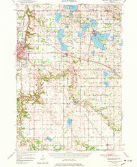
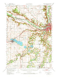
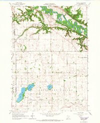
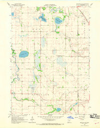
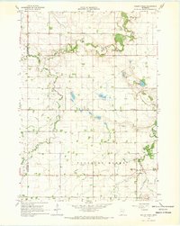
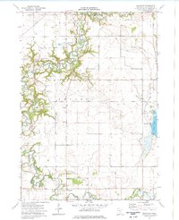
Historical Maps of Sterling Center Through Time
57 maps found
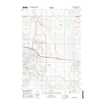
1950 Mankato East
Blue Earth County, MN

1951 Mankato East
Blue Earth County, MN
1951 Mankato West
Blue Earth County, MN
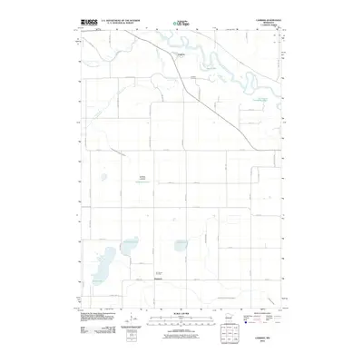
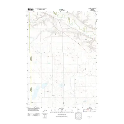
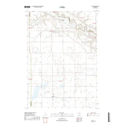
1965 Cambria
Blue Earth County, MN
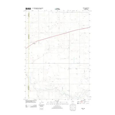
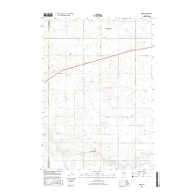
1965 Perth
Blue Earth County, MN
1967 Mapleton NE
Blue Earth County, MN
1967 Sterling Center
Blue Earth County, MN
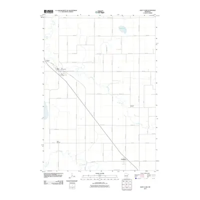
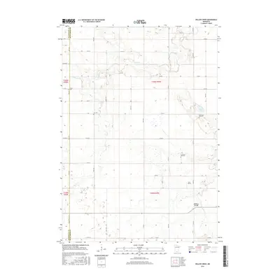
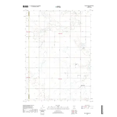
1967 Willow Creek
Blue Earth County, MN
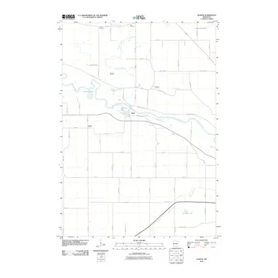
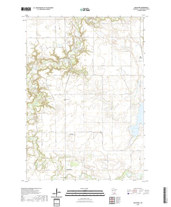
1974 Beauford
Blue Earth County, MN
1974 Judson
Blue Earth County, MN
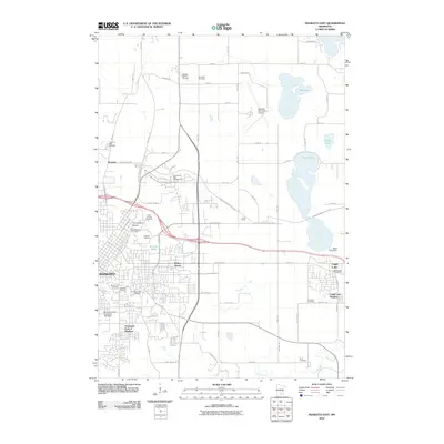
1974 Mankato East
Blue Earth County, MN
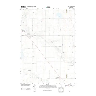
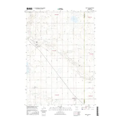
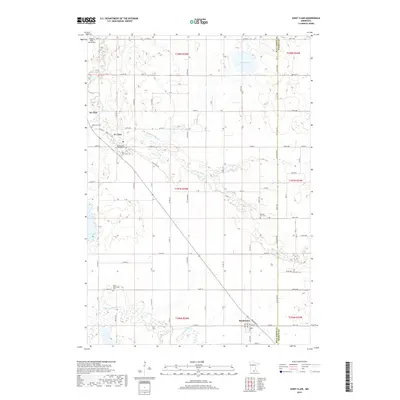
1974 St Clair
Blue Earth County, MN
2010 Beauford
Blue Earth County, MN
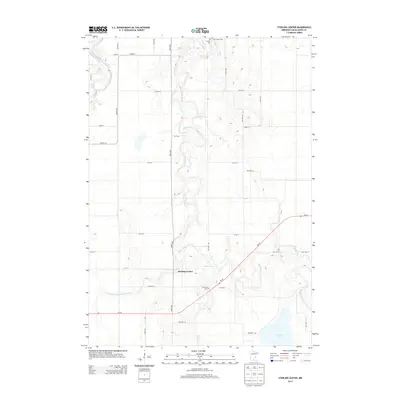
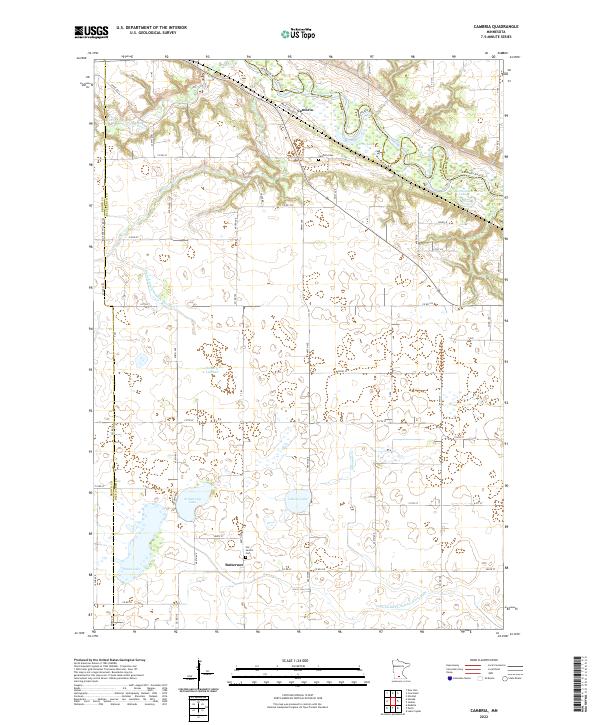
2010 Cambria
Blue Earth County, MN
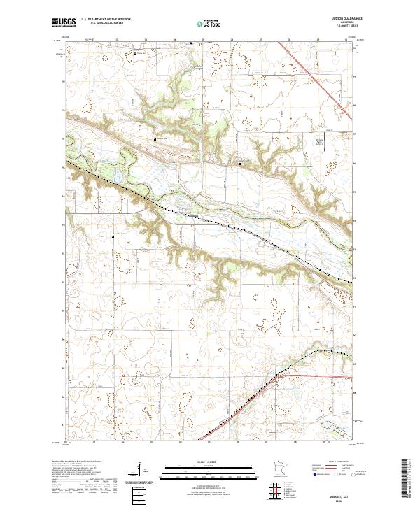
2010 Judson
Blue Earth County, MN
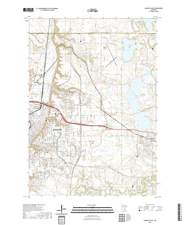
2010 Mankato East
Blue Earth County, MN
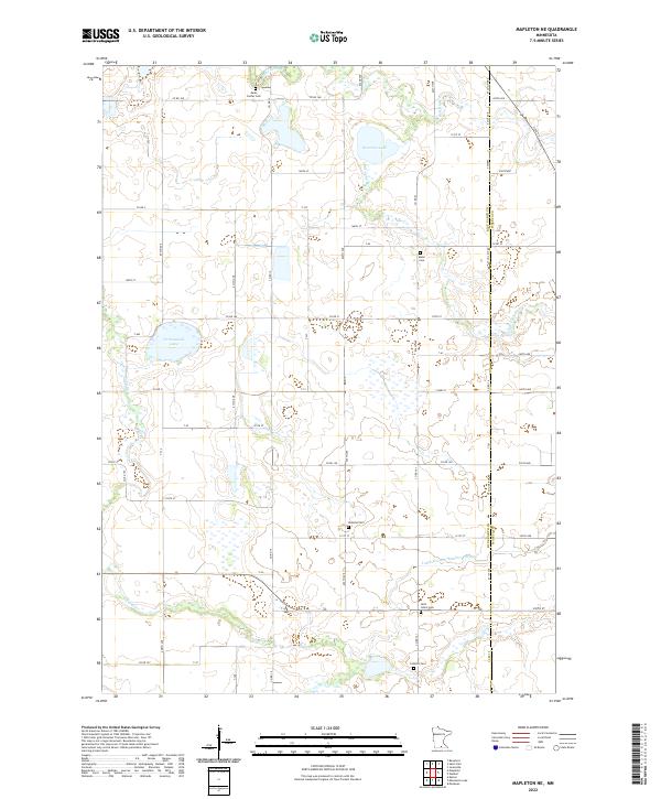
2010 Mapleton NE
Blue Earth County, MN
2010 Perth
Blue Earth County, MN
2010 Saint Clair
Blue Earth County, MN
2010 Sterling Center
Blue Earth County, MN
2010 Willow Creek
Blue Earth County, MN
2013 Beauford
Blue Earth County, MN
2013 Cambria
Blue Earth County, MN
2013 Judson
Blue Earth County, MN
2013 Mankato East
Blue Earth County, MN
2013 Mapleton NE
Blue Earth County, MN
2013 Perth
Blue Earth County, MN
2013 Saint Clair
Blue Earth County, MN
2013 Sterling Center
Blue Earth County, MN
2013 Willow Creek
Blue Earth County, MN
2016 Beauford
Blue Earth County, MN
2016 Cambria
Blue Earth County, MN
2016 Judson
Blue Earth County, MN
2016 Mankato East
Blue Earth County, MN
2016 Mapleton NE
Blue Earth County, MN
2016 Perth
Blue Earth County, MN
2016 Saint Clair
Blue Earth County, MN
2016 Sterling Center
Blue Earth County, MN
2016 Willow Creek
Blue Earth County, MN
2019 Beauford
Blue Earth County, MN
2019 Cambria
Blue Earth County, MN
2019 Judson
Blue Earth County, MN
2019 Mankato East
Blue Earth County, MN
2019 Mapleton NE
Blue Earth County, MN
2019 Perth
Blue Earth County, MN
2019 Saint Clair
Blue Earth County, MN
2019 Sterling Center
Blue Earth County, MN
2019 Willow Creek
Blue Earth County, MN
2022 Beauford
Blue Earth County, MN
2022 Cambria
Blue Earth County, MN
2022 Judson
Blue Earth County, MN
2022 Mankato East
Blue Earth County, MN
2022 Mapleton NE
Blue Earth County, MN
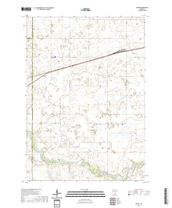
2022 Perth
Blue Earth County, MN
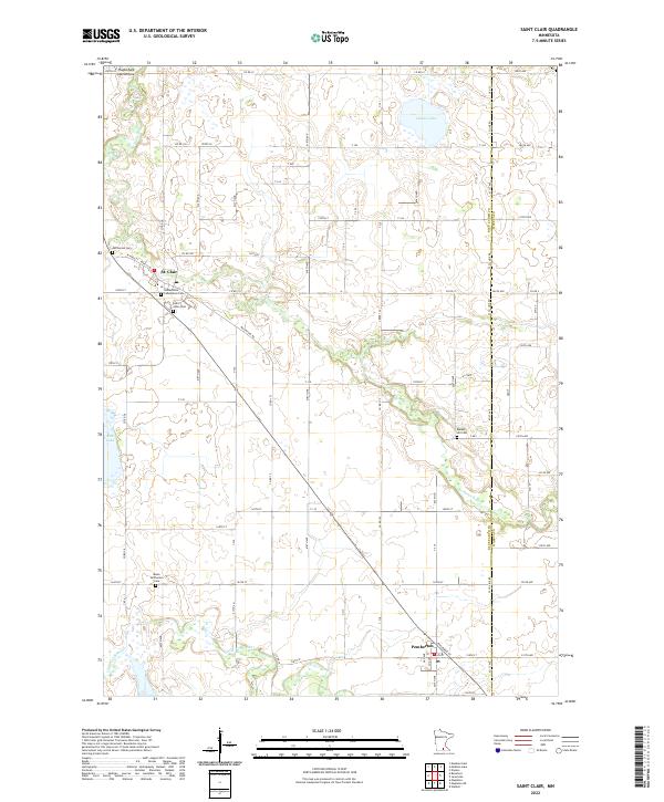
2022 Saint Clair
Blue Earth County, MN
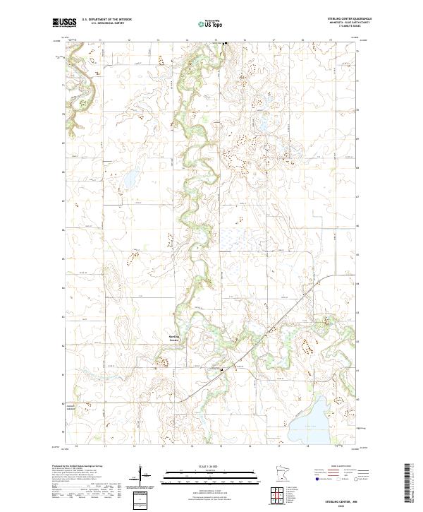
2022 Sterling Center
Blue Earth County, MN
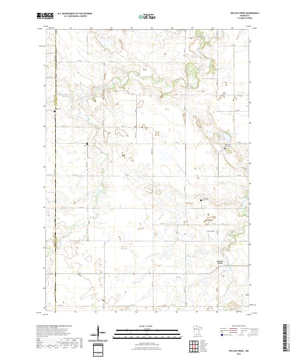
2022 Willow Creek
Blue Earth County, MN