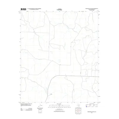
2012 Map of Sterling City NW
USGS Topo · Published 2012About this map
Garrett Windmill stands as a focal point in this portion of Sterling County, marking the importance of water infrastructure in the arid West Texas landscape. The terrain is defined by the ephemeral drainage patterns of Willow Cr and N Gasconades Cr, which carve subtle paths through the rangeland. Transportation in this era of the early 21st century is represented by a sparse network of local routes, including Bird Ln and Munn Ln, which connect the scattered homesteads and ranching interests characteristic of the region north and west of Sterling City. This survey illustrates the continued reliance on legacy landmarks like windmills and named creeks to navigate the vast open spaces of the Edwards Plateau.
Find a feature on this map
5 named features on this map. Tap any name to fly to it.
Don’t see what you’re looking for? This feature index may not catch every label — zoom into the map to look around manually.
Map Details
Editions of this 2012 Sterling City NW Map
This is the sole edition of this map. No revisions or reprints were ever made.
Other maps of this area

1954 · Big Spring
USGS Topo · 1:250,000

1954 · San Angelo
USGS Topo · 1:250,000

1958 · San Angelo
USGS Topo · 1:250,000

1958 · Big Spring
USGS Topo · 1:250,000

1959 · McWhorter Mountain
USGS Topo · 1:24,000

1959 · Dead Indian Mountain
USGS Topo · 1:24,000

1963 · Cumbie Draw
USGS Topo · 1:24,000

1963 · Cumbie Draw NE
USGS Topo · 1:24,000

1963 · Buffalo Draw
USGS Topo · 1:24,000

1965 · San Angelo
USGS Topo · 1:250,000