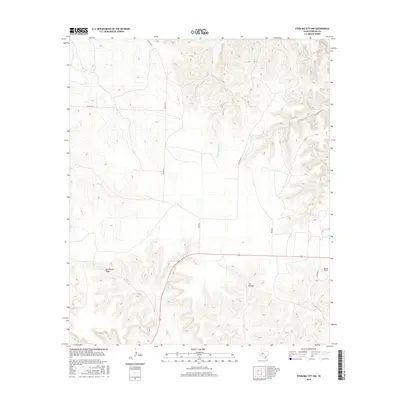
2016 Map of Sterling City NW
USGS Topo · Published 2016About this map
N Gasconades Cr and Willow Cr carve through the arid high plains of Sterling County in this 2016 snapshot of West Texas cattle country. The landscape is defined by the drainage patterns of Mackenzie Draw and Cox Hollow, where seasonal water flow has shaped the rugged limestone breaks. Human activity is sparse and centered on private aviation and cattle transport, anchored by Bodine Airport and a grid of rural lanes like Bird Ln and Munn Ln. State Highway 158 provides the primary east-west corridor, linking this isolated ranchland to the wider region. The map preserves the specific network of county roads, such as Co RD 400-P and Co RD 306-P, which delineate the vast acreage typical of contemporary ranching operations in the Concho Valley hinterlands.
Find a feature on this map
12 named features on this map. Tap any name to fly to it.
Don’t see what you’re looking for? This feature index may not catch every label — zoom into the map to look around manually.
Map Details
Editions of this 2016 Sterling City NW Map
This is the sole edition of this map. No revisions or reprints were ever made.
Other maps of this area

1954 · Big Spring
USGS Topo · 1:250,000

1954 · San Angelo
USGS Topo · 1:250,000

1958 · San Angelo
USGS Topo · 1:250,000

1958 · Big Spring
USGS Topo · 1:250,000

1959 · McWhorter Mountain
USGS Topo · 1:24,000

1959 · Dead Indian Mountain
USGS Topo · 1:24,000

1963 · Cumbie Draw
USGS Topo · 1:24,000

1963 · Cumbie Draw NE
USGS Topo · 1:24,000

1963 · Buffalo Draw
USGS Topo · 1:24,000

1965 · San Angelo
USGS Topo · 1:250,000