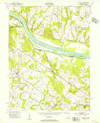
1952 Map of Sterling
USGS Topo · Published 1954About this map
The Potomac River corridor at the Virginia and Maryland border defines this mid-century landscape, anchored by the river's significant islands including Selden Island and Van Deventer Island. On the Maryland shore, the Chesapeake and Ohio Canal follows the riverbank, while the Virginia side shows a rural landscape transitioning toward suburbanization. The Washington and Old Dominion railroad cuts across the southern portion of the sheet, connecting small communities like Ashburn, Ryan, and Sterling. Local social centers such as St Pauls Ch in Sugarland, the Izaak Walton Club, and the Nokes Sch provide clear points of reference for genealogists tracking family movements in Loudoun County before the heavy development of the late 20th century. Numerous watercourses like Broad Run and Goose Creek feed into the Potomac, shaping the placement of early roads like the Leesburg Turnpike.
Find a feature on this map
33 named features on this map. Tap any name to fly to it.
Don’t see what you’re looking for? This feature index may not catch every label — zoom into the map to look around manually.
Map Details
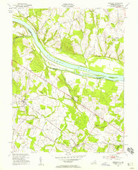
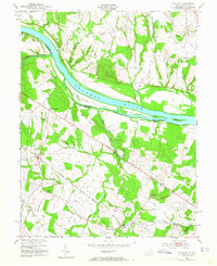
Editions of this 1952 Sterling Map
Other maps of this area

1884 · Harpers Ferry
USGS Topo · 1:125,000

1890 · Mt. Vernon
USGS Topo · 1:125,000

1891 · Harpers Ferry
USGS Topo · 1:125,000

1891 · Mt. Vernon
USGS Topo · 1:125,000

1893 · Frederick
USGS Topo · 1:125,000

1893 · Harpers Ferry
USGS Topo · 1:125,000

1894 · Warrenton
USGS Topo · 1:125,000

1894 · Frederick
USGS Topo · 1:125,000

1894 · Mt. Vernon
USGS Topo · 1:125,000

1897 · Mt. Vernon
USGS Topo · 1:125,000