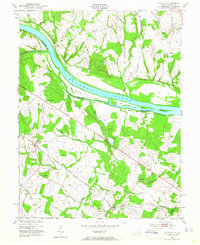
1952 Map of Sterling
USGS Topo · Published 1965About this map
Potomac River currents define this borderland where Loudoun County meet Montgomery and Fairfax. Based on 1943 aerial photography with a 1952 revision, the map captures a rural landscape still anchored by the Washington and Old Dominion railroad line, which connects the hamlets of Sterling, Ryan, and Ashburn. Along the river’s Maryland shore, the Chesapeake and Ohio Canal runs parallel to massive river features like Selden Island and Van Deventer Island.
Find a feature on this map
35 named features on this map. Tap any name to fly to it.
Don’t see what you’re looking for? This feature index may not catch every label — zoom into the map to look around manually.
Map Details
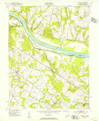
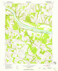
Editions of this 1952 Sterling Map
Other maps of this area

1884 · Harpers Ferry
USGS Topo · 1:125,000

1890 · Mt. Vernon
USGS Topo · 1:125,000

1891 · Harpers Ferry
USGS Topo · 1:125,000

1891 · Mt. Vernon
USGS Topo · 1:125,000

1893 · Frederick
USGS Topo · 1:125,000

1893 · Harpers Ferry
USGS Topo · 1:125,000

1894 · Warrenton
USGS Topo · 1:125,000

1894 · Frederick
USGS Topo · 1:125,000

1894 · Mt. Vernon
USGS Topo · 1:125,000

1897 · Mt. Vernon
USGS Topo · 1:125,000