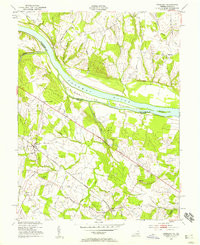
1952 Map of Sterling
USGS Topo · Published 1958About this map
The Potomac River forms a wide natural boundary between Maryland and Virginia, defined by the large Selden Island and Van Deventer Island. Along the northern bank, the historic Chesapeake and Ohio Canal follows the water's edge, a relic of nineteenth-century transport. On the Virginia side, the Washington and Old Dominion railroad cuts across the landscape, connecting rural hubs like Ashburn Junction and the small settlement of Ryan. This era shows Loudoun County before its late-century suburban expansion, where the economy still revolved around agriculture and small crossroads communities. Rural life is anchored by landmarks like St Pauls Ch near Sugarland and the Nokes Sch to the south. The landscape is heavily dissected by waterways such as Broad Run and Goose Creek, with the Izaak Walton Club signifying the region's long-standing recreational connection to the river and its tributaries.
Find a feature on this map
38 named features on this map. Tap any name to fly to it.
Don’t see what you’re looking for? This feature index may not catch every label — zoom into the map to look around manually.
Map Details
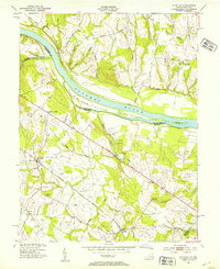
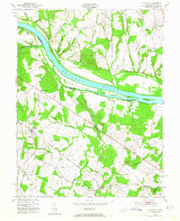
Editions of this 1952 Sterling Map
Other maps of this area

1884 · Harpers Ferry
USGS Topo · 1:125,000

1890 · Mt. Vernon
USGS Topo · 1:125,000

1891 · Harpers Ferry
USGS Topo · 1:125,000

1891 · Mt. Vernon
USGS Topo · 1:125,000

1893 · Frederick
USGS Topo · 1:125,000

1893 · Harpers Ferry
USGS Topo · 1:125,000

1894 · Warrenton
USGS Topo · 1:125,000

1894 · Frederick
USGS Topo · 1:125,000

1894 · Mt. Vernon
USGS Topo · 1:125,000

1897 · Mt. Vernon
USGS Topo · 1:125,000