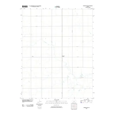
2009 Map of Sterling SW
USGS Topo · Published 2009About this map
Charters Corner serves as a central reference point in this portion of Reno County, defined by a strict section-line road grid that characterizes the agrarian landscape of central Kansas. The geography is subtly marked by the meandering paths of Salt Creek, Dry Creek, and Sugar Creek, which cut across the otherwise geometric township and range layout. For those researching local family history, Peace Cemetery is a significant landmark located in the western portion of the survey. The infrastructure reflects a deeply organized rural network, with major corridors like N Sego Rd, Hodge Rd, and Salem Rd facilitating transit between disparate farmsteads and agricultural plots. This map documents the persistent settlement patterns and drainage systems that have supported the region's wheat-belt economy into the twenty-first century.
Find a feature on this map
18 named features on this map. Tap any name to fly to it.
Don’t see what you’re looking for? This feature index may not catch every label — zoom into the map to look around manually.
Map Details
Editions of this 2009 Sterling SW Map
This is the sole edition of this map. No revisions or reprints were ever made.
Other maps of this area

1892 · Kingman
USGS Topo · 1:125,000

1894 · Kingman
USGS Topo · 1:125,000

1894 · Lyons
USGS Topo · 1:125,000

1955 · Great Bend
USGS Topo · 1:250,000

1955 · Pratt
USGS Topo · 1:250,000

1957 · Great Bend
USGS Topo · 1:250,000

1958 · Great Bend
USGS Topo · 1:250,000

1959 · Pratt
USGS Topo · 1:250,000

1960 · Yaggy
USGS Topo · 1:24,000

1966 · Sterling SW
USGS Topo · 1:24,000