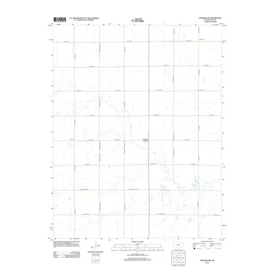
2012 Map of Sterling SW
USGS Topo · Published 2012About this map
Charters Corner sits at the heart of this agricultural landscape in Reno County, where the regular section-line grid of roads like N Peace Rd and W Clark Rd organizes the Kansas plains. The drainage patterns of Salt Cr and the smaller Dry Cr create the only deviations in the otherwise orderly geography of rural township life. This 2012 survey preserves the locations of established landmarks vital to local heritage, including Peace Cem near the western edge and Salem Cem in the northeast corner. The map documents the enduring infrastructure of the region, from the primary corridor of Route 14 to the quiet reaches of Sugar Cr in the south, reflecting a landscape dedicated to long-term residency and cultivation.
Find a feature on this map
24 named features on this map. Tap any name to fly to it.
Don’t see what you’re looking for? This feature index may not catch every label — zoom into the map to look around manually.
Map Details
Editions of this 2012 Sterling SW Map
This is the sole edition of this map. No revisions or reprints were ever made.
Other maps of this area

1892 · Kingman
USGS Topo · 1:125,000

1894 · Kingman
USGS Topo · 1:125,000

1894 · Lyons
USGS Topo · 1:125,000

1955 · Great Bend
USGS Topo · 1:250,000

1955 · Pratt
USGS Topo · 1:250,000

1957 · Great Bend
USGS Topo · 1:250,000

1958 · Great Bend
USGS Topo · 1:250,000

1959 · Pratt
USGS Topo · 1:250,000

1960 · Yaggy
USGS Topo · 1:24,000

1966 · Sterling SW
USGS Topo · 1:24,000