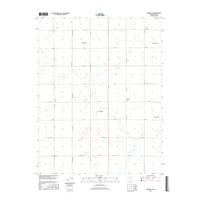
2015 Map of Sterling SW
USGS Topo · Published 2015About this map
The agrarian landscape of Reno County is meticulously detailed in this 2015 survey, where a rigid grid of section lines and gravel roads such as Bone Springs Rd and Sego Rd defines the prairie. This area reflects a long-established rural settlement pattern, anchored by local burial grounds including the Fairview Methodist Cem, Peace Cem, and Salem Cem. These sites, often positioned near crossroads or historic church locations, serve as critical waypoints for genealogists tracing family roots in central Kansas. The terrain is subtly carved by the winding paths of Salt Cr, Dry Cr, and Sugar Cr, which break the geometric precision of the fields. The map reveals the persistence of the Public Land Survey System, with township boundaries like t22s r8w clearly marking the ancestral divisions of the Kansas plains.
Find a feature on this map
64 named features on this map. Tap any name to fly to it.
Don’t see what you’re looking for? This feature index may not catch every label — zoom into the map to look around manually.
Map Details
Editions of this 2015 Sterling SW Map
This is the sole edition of this map. No revisions or reprints were ever made.
Other maps of this area

1892 · Kingman
USGS Topo · 1:125,000

1894 · Kingman
USGS Topo · 1:125,000

1894 · Lyons
USGS Topo · 1:125,000

1955 · Great Bend
USGS Topo · 1:250,000

1955 · Pratt
USGS Topo · 1:250,000

1957 · Great Bend
USGS Topo · 1:250,000

1958 · Great Bend
USGS Topo · 1:250,000

1959 · Pratt
USGS Topo · 1:250,000

1960 · Yaggy
USGS Topo · 1:24,000

1966 · Sterling SW
USGS Topo · 1:24,000