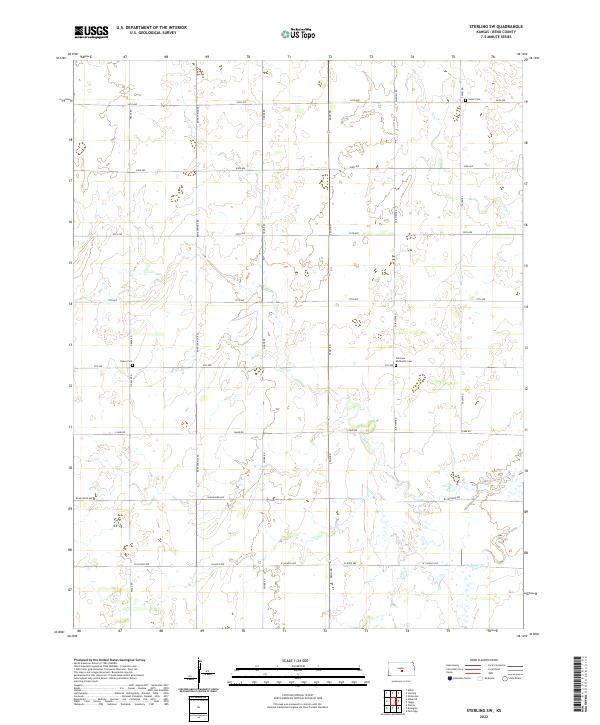
2022 Map of Sterling SW
USGS Topo · Published 2022About this map
The rural expanse of Reno County is defined by its rectilinear section lines and the winding path of Salt Cr. This part of Kansas retains the enduring grid of the Public Land Survey System, where townships like t22s r8w and t23s r8w meet at a network of agricultural roads such as Bone Springs Rd and Fairview Rd. The landscape is largely open, though its history is anchored by localized landmarks that speak to generations of settlement. Of particular note for genealogists are the dispersed burial grounds, including the Salem Cem in the northeast and the Fairview Methodist Cem located along 4th Ave. These sites, along with Peace Cem, serve as the primary markers of a community structured around family farms and small country congregations. The hydrology of the area is shaped by intermittent drainages like Dry Cr and Sugar Cr, which break the regularity of the prairie fields.
Find a feature on this map
27 named features on this map. Tap any name to fly to it.
Don’t see what you’re looking for? This feature index may not catch every label — zoom into the map to look around manually.
Map Details
Editions of this 2022 Sterling SW Map
This is the sole edition of this map. No revisions or reprints were ever made.
Other maps of this area

1892 · Kingman
USGS Topo · 1:125,000

1894 · Kingman
USGS Topo · 1:125,000

1894 · Lyons
USGS Topo · 1:125,000

1955 · Great Bend
USGS Topo · 1:250,000

1955 · Pratt
USGS Topo · 1:250,000

1957 · Great Bend
USGS Topo · 1:250,000

1958 · Great Bend
USGS Topo · 1:250,000

1959 · Pratt
USGS Topo · 1:250,000

1960 · Yaggy
USGS Topo · 1:24,000

1966 · Sterling SW
USGS Topo · 1:24,000