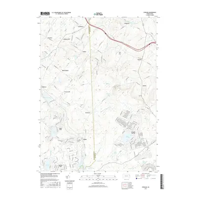
2016 Map of Sterling
USGS Topo · Published 2016About this map
Madisonville and Sterling anchor this portion of the Pennsylvania highlands, where the Lackawanna and Wayne county line divides a landscape defined by headwater streams and recreational developments. The survey shows a transition from traditional rural hamlets like Quicktown and Jericho to private residential communities such as Pocono Springs and Big Bass Lake. This development pattern is particularly evident near Eagle Lake, where a dense network of modern roads including Equestrian Trl and Buckaroo Byway contrasts with the surrounding woodlands.
Find a feature on this map
190 named features on this map. Tap any name to fly to it.
Don’t see what you’re looking for? This feature index may not catch every label — zoom into the map to look around manually.
Map Details
Editions of this 2016 Sterling Map
This is the sole edition of this map. No revisions or reprints were ever made.
Other maps of this area

1889 · Scranton
USGS Topo · 1:62,500

1891 · Scranton
USGS Topo · 1:62,500

1893 · Scranton
USGS Topo · 1:62,500

1919 · Pocono
USGS Topo · 1:62,500

1921 · Pocono
USGS Topo · 1:62,500

1922 · Stoddartsville
USGS Topo · 1:62,500

1923 · Pocono
USGS Topo · 1:62,500

1924 · Stoddartsville
USGS Topo · 1:62,500

1928 · Ariel
USGS Topo · 1:62,500

1932 · Ariel
USGS Topo · 1:62,500
Featured Places
- Sterling Township, PA
- Clifton Township, PA
- Dreher Township, PA
- Pocono Springs, PA
- Madisonville, Madison Township