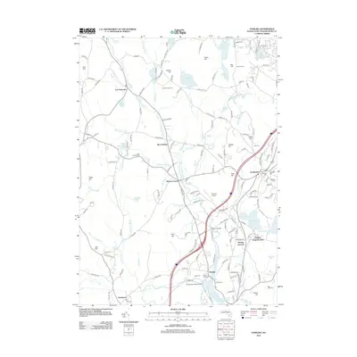
2012 Map of Sterling
USGS Topo · Published 2012About this map
Sterling and its surrounding Worcester County villages are centered within a landscape defined by glacial ponds and local agriculture. The Stillwater River and Justice Brook flow through a region punctuated by small hills like Justice Hill and Ross Hill, where historic farms such as Sholan Farms and Clearview Farm maintain the area’s rural character. The map details the proximity of West Washacum Pond and East Washacum Pond, highlighting the seasonal and community significance of the Sterling Camp Grounds nearby.
Find a feature on this map
175 named features on this map. Tap any name to fly to it.
Don’t see what you’re looking for? This feature index may not catch every label — zoom into the map to look around manually.
Map Details
Editions of this 2012 Sterling Map
This is the sole edition of this map. No revisions or reprints were ever made.
Other maps of this area

1885 · Worcester
USGS Topo · 1:62,500

1886 · Worcester
USGS Topo · 1:62,500

1887 · Marlboro
USGS Topo · 1:62,500

1887 · Fitchburg
USGS Topo · 1:62,500

1889 · Marlboro
USGS Topo · 1:62,500

1889 · Fitchburg
USGS Topo · 1:62,500

1892 · Worcester
USGS Topo · 1:62,500

1893 · Fitchburg
USGS Topo · 1:62,500

1893 · Groton
USGS Topo · 1:62,500

1896 · Marlboro
USGS Topo · 1:62,500