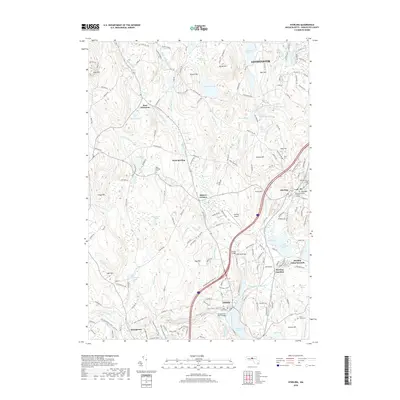
2018 Map of Sterling
USGS Topo · Published 2018About this map
Sterling and its outlying villages are showcased in this modern era survey of Worcester County, where the transition from traditional industry to recreational and residential land use is evident. The Mass Central Rail Trail follows the path of former railroad infrastructure, carving through the landscape near Quinapoxet and crossing the Quinapoxet River Bridge. This repurposing of transit corridors connects several historic settlements, including West Sterling and Sterling Junction, while preserving the spatial orientation of 19th-century rail routes.
Find a feature on this map
191 named features on this map. Tap any name to fly to it.
Don’t see what you’re looking for? This feature index may not catch every label — zoom into the map to look around manually.
Map Details
Editions of this 2018 Sterling Map
This is the sole edition of this map. No revisions or reprints were ever made.
Other maps of this area

1885 · Worcester
USGS Topo · 1:62,500

1886 · Worcester
USGS Topo · 1:62,500

1887 · Marlboro
USGS Topo · 1:62,500

1887 · Fitchburg
USGS Topo · 1:62,500

1889 · Marlboro
USGS Topo · 1:62,500

1889 · Fitchburg
USGS Topo · 1:62,500

1892 · Worcester
USGS Topo · 1:62,500

1893 · Fitchburg
USGS Topo · 1:62,500

1893 · Groton
USGS Topo · 1:62,500

1896 · Marlboro
USGS Topo · 1:62,500