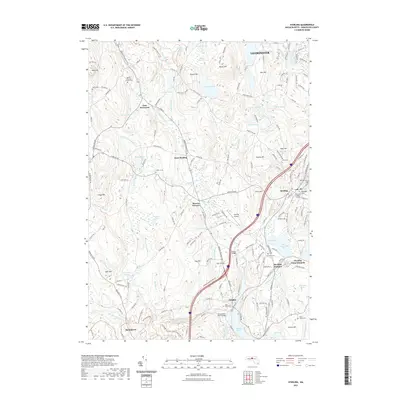
2021 Map of Sterling
USGS Topo · Published 2021About this map
Sterling and its surrounding hamlets of East Princeton, West Sterling, and Oakdale are characterized by a network of historic burial grounds and a complex hydrology feeding the Wachusett reservoir system. The landscape is defined by its numerous hills, including Justice Hill and Rowley Hill, which overlook a series of basins such as Fitch Basin and Lynde Basins. This 2021 update preserves the locations of vital local landmarks, from the Sterling Airport to the Sterling Camp Grounds near West Waushacum Pond. For genealogists and local historians, the sheet is exceptionally well-documented with sites like the Chocksett Burial Ground, Parker 1 Burying Ground Cem, and Cookshire Cem. The conversion of rail infrastructure is evident along the Mass Central / MCRT Trl, tracing the path of former transit through the Stillwater River valley. The presence of Stones Bridge and the Quinepoxet River Bridge highlights the critical crossings that have long connected these Worcester County communities.
Find a feature on this map
190 named features on this map. Tap any name to fly to it.
Don’t see what you’re looking for? This feature index may not catch every label — zoom into the map to look around manually.
Map Details
Editions of this 2021 Sterling Map
This is the sole edition of this map. No revisions or reprints were ever made.
Other maps of this area

1885 · Worcester
USGS Topo · 1:62,500

1886 · Worcester
USGS Topo · 1:62,500

1887 · Marlboro
USGS Topo · 1:62,500

1887 · Fitchburg
USGS Topo · 1:62,500

1889 · Marlboro
USGS Topo · 1:62,500

1889 · Fitchburg
USGS Topo · 1:62,500

1892 · Worcester
USGS Topo · 1:62,500

1893 · Fitchburg
USGS Topo · 1:62,500

1893 · Groton
USGS Topo · 1:62,500

1896 · Marlboro
USGS Topo · 1:62,500