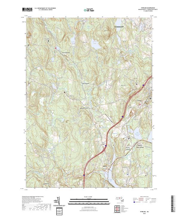
2024 Map of Sterling
USGS Topo · Published 2024About this map
Sterling and its surrounding villages in Worcester County occupy a landscape defined by the drainage of the Stillwater River and the Quinapoxet River. This modern survey details the geographic relationship between long-established settlements like West Sterling and East Princeton and the persistent infrastructure of the Mass Central/MCRT-Trl, which follows the rail corridors that once powered the local economy. Genealogists will find a high density of burial sites, ranging from the central Chocksett Burial Ground to the outlying Parker 1 Burying Ground Cem. The terrain is characterized by a series of prominent drumlins and hills, including Fitch Hill and Rowley Hill, which overlook significant water bodies like West Waushacum Pond and the Thomas Basin. The map also highlights local transportation and recreation landmarks such as the Sterling Airport and the Sterling Camp Grounds, reflecting the area's mix of residential pockets and conserved open spaces.
Find a feature on this map
146 named features on this map. Tap any name to fly to it.
Don’t see what you’re looking for? This feature index may not catch every label — zoom into the map to look around manually.
Map Details
Editions of this 2024 Sterling Map
This is the sole edition of this map. No revisions or reprints were ever made.
Other maps of this area

1885 · Worcester
USGS Topo · 1:62,500

1886 · Worcester
USGS Topo · 1:62,500

1887 · Marlboro
USGS Topo · 1:62,500

1887 · Fitchburg
USGS Topo · 1:62,500

1889 · Marlboro
USGS Topo · 1:62,500

1889 · Fitchburg
USGS Topo · 1:62,500

1892 · Worcester
USGS Topo · 1:62,500

1893 · Fitchburg
USGS Topo · 1:62,500

1893 · Groton
USGS Topo · 1:62,500

1896 · Marlboro
USGS Topo · 1:62,500