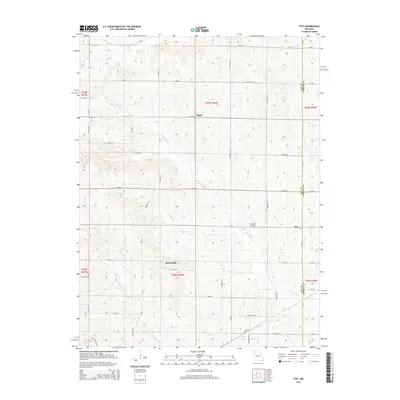
2015 Map of Stet
USGS Topo · Published 2015About this map
Wakenda Creek and its many tributaries, including Crabapple Creek and the West Fork Wakenda Creek, carve a intricate drainage pattern through this section of the Missouri landscape. The 2015 topography shows a rural environment defined by small upland settlements and a regular grid of county roads. The community of Stet sits on the eastern edge near the border between Ray County and Carroll County, while Russellville and Regal occupy central and northern positions respectively.
Find a feature on this map
35 named features on this map. Tap any name to fly to it.
Don’t see what you’re looking for? This feature index may not catch every label — zoom into the map to look around manually.
Map Details
Editions of this 2015 Stet Map
This is the sole edition of this map. No revisions or reprints were ever made.
Other maps of this area

1889 · Lexington
USGS Topo · 1:125,000

1924 · Dawn
USGS Topo · 1:62,500

1924 · Braymer
USGS Topo · 1:62,500

1950 · Plymouth
USGS Topo · 1:24,000

1951 · Utica
USGS Topo · 1:62,500

1953 · Moberly
USGS Topo · 1:250,000

1954 · Moberly
USGS Topo · 1:250,000

1957 · Moberly
USGS Topo · 1:250,000
1957 · Roads
USGS Topo · 1:24,000
1957 · Stet
USGS Topo · 1:24,000