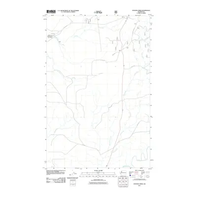
2011 Map of Stevens Creek
USGS Topo · Published 2011About this map
The US Fish and Wildlife Service Quinault National Fish Hatchery is a primary landmark in this coastal Washington drainage, located where Marion Rd meets Cook Creek. The terrain is defined by a dense network of forest service roads and riparian corridors, including the winding Stevens Creek and the headwaters of the Copalis River. As of 2011, the landscape reflects the active management of the Olympic Peninsula's natural resources, with thorough documentation of logging and access routes such as Quinault Ridge Rd and NFD 2257 Rd. The southern portion of the quadrangle is anchored by the convergence of the Humptulips River and the West Fork Humptulips River, illustrating the complex water systems that sustain the local fish hatchery operations and regional ecology.
Find a feature on this map
18 named features on this map. Tap any name to fly to it.
Don’t see what you’re looking for? This feature index may not catch every label — zoom into the map to look around manually.
Map Details
Editions of this 2011 Stevens Creek Map
This is the sole edition of this map. No revisions or reprints were ever made.
Other maps of this area

1921 · Quinault Lake
USGS Topo · 1:62,500

1938 · Moclips
USGS Topo · 1:62,500

1941 · Moclips
USGS Topo · 1:62,500

1943 · Humptulips
USGS Topo · 1:62,500

1943 · Copalis Beach
USGS Topo · 1:250,000

1951 · Copalis Beach
USGS Topo · 1:250,000

1955 · Macafee Hill
USGS Topo · 1:62,500

1955 · Humptulips
USGS Topo · 1:62,500

1955 · Quinault Lake
USGS Topo · 1:62,500

1955 · Carlisle
USGS Topo · 1:24,000