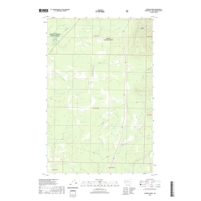
2020 Map of Stevens Creek
USGS Topo · Published 2020About this map
The Quinault National Fish Hatchery stands as a primary point of human infrastructure in the northwestern corner of this landscape, situated near the intersection of Moclips Hwy and Marion Rd. This 2020 map documents the complex drainage systems of the Olympic National Forest, where the headwaters of several significant waterways originate. The Olympic Mountains dominate the northeastern terrain, giving rise to Skunk Cr and Newberry Creek. To the south, the confluence of the Humptulips River and its western fork marks a shift toward broader valley floor topography. The map detail highlights an extensive network of timber and access routes, such as Donkey Creek Rd and various numbered forestry roads, which have facilitated access to this heavily forested region of Grays Harbor County for decades.
Find a feature on this map
28 named features on this map. Tap any name to fly to it.
Don’t see what you’re looking for? This feature index may not catch every label — zoom into the map to look around manually.
Map Details
Editions of this 2020 Stevens Creek Map
This is the sole edition of this map. No revisions or reprints were ever made.
Other maps of this area

1921 · Quinault Lake
USGS Topo · 1:62,500

1938 · Moclips
USGS Topo · 1:62,500

1941 · Moclips
USGS Topo · 1:62,500

1943 · Humptulips
USGS Topo · 1:62,500

1943 · Copalis Beach
USGS Topo · 1:250,000

1951 · Copalis Beach
USGS Topo · 1:250,000

1955 · Macafee Hill
USGS Topo · 1:62,500

1955 · Humptulips
USGS Topo · 1:62,500

1955 · Quinault Lake
USGS Topo · 1:62,500

1955 · Carlisle
USGS Topo · 1:24,000