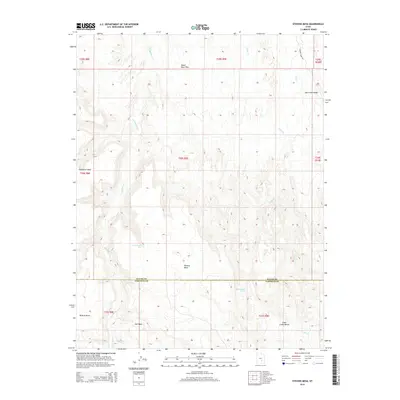
2014 Map of Stevens Mesa
USGS Topo · Published 2014About this map
Stevens Mesa stands as a prominent landmark in this high-desert landscape of Utah, where the administrative boundary between Wayne and Garfield counties crosses a terrain defined by massive plateaus and intricate drainage systems. The map detail reflects the harsh, water-dependent geography of the region, anchored by named water sources like Indianwater Seep and Maidenwater Spring.
Find a feature on this map
15 named features on this map. Tap any name to fly to it.
Don’t see what you’re looking for? This feature index may not catch every label — zoom into the map to look around manually.
Map Details
Editions of this 2014 Stevens Mesa Map
This is the sole edition of this map. No revisions or reprints were ever made.
Other maps of this area

1885 · San Rafael
USGS Topo · 1:250,000

1885 · Fish Lake
USGS Topo · 1:250,000

1896 · Fish Lake
USGS Topo · 1:250,000

1952 · Notom 4 SE
USGS Topo · 1:24,000

1952 · Notom 4 NE
USGS Topo · 1:24,000

1952 · Notom
USGS Topo · 1:62,500

1954 · Mt. Ellen 2 SE
USGS Topo · 1:24,000

1954 · Mt. Ellen 2 SW
USGS Topo · 1:24,000

1954 · Fruita
USGS Topo · 1:62,500
1954 · Notom 1 SE
USGS Topo · 1:24,000