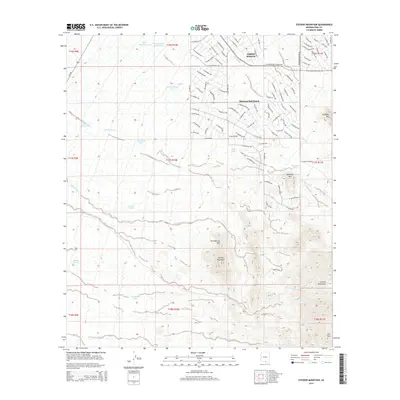
2014 Map of Stevens Mountain
USGS Topo · Published 2014About this map
Diamond Bell Ranch and the nearby community of Three Points anchor this portion of the Sonoran landscape as it appeared in the early 21st century. The map reveals a planned residential grid of numerous named streets, such as W Larkdale St and W Cinnabar Ave, set against a backdrop of prominent peaks and ephemeral drainages. The Sierrita Mountains dominate the southern portion of the quadrangle, with landmarks like Stevens Mountain and Providencia Hill rising sharply above the surrounding desert floor.
Find a feature on this map
112 named features on this map. Tap any name to fly to it.
Don’t see what you’re looking for? This feature index may not catch every label — zoom into the map to look around manually.
Map Details
Editions of this 2014 Stevens Mountain Map
This is the sole edition of this map. No revisions or reprints were ever made.
Other maps of this area

1920 · Arivaca
USGS Topo · 1:125,000

1925 · Samaniego Peak
USGS Topo · 1:62,500

1925 · San Xavier
USGS Topo · 1:62,500

1934 · Tucson Mountains
USGS Topo · 1:125,000

1939 · Twin Buttes
USGS Topo · 1:62,500

1940 · Palo Alto Ranch
USGS Topo · 1:62,500

1941 · Twin Buttes
USGS Topo · 1:62,500

1941 · Cocoraque Butte
USGS Topo · 1:62,500

1943 · Cocoraque Butte
USGS Topo · 1:62,500

1943 · Palo Alto Ranch
USGS Topo · 1:62,500