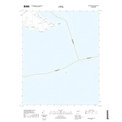
2019 Map of Stevenson Point
USGS Topo · Published 2019About this map
Durants Neck defines the terrestrial portion of this coastal sheet, situated where the Little River meets the expansive Albemarle Sound. This 2019 survey captures the modern residential development along the peninsula, with a network of avian-themed roads such as Blue Heron Blvd, Egret Dr, and Bald Eagle Pointe Dr branching off from New Hope Rd. The landscape is primarily defined by its low-lying proximity to the water, terminating in distinct geographic markers like Stevenson Point and Reed Point.
Find a feature on this map
22 named features on this map. Tap any name to fly to it.
Don’t see what you’re looking for? This feature index may not catch every label — zoom into the map to look around manually.
Map Details
Editions of this 2019 Stevenson Point Map
This is the sole edition of this map. No revisions or reprints were ever made.
Other maps of this area

1906 · Hertford
USGS Topo · 1:62,500

1940 · Hertford
USGS Topo · 1:62,500

1940 · Wade Point
USGS Topo · 1:62,500

1943 · Wade Point
USGS Topo · 1:62,500

1943 · Columbia
USGS Topo · 1:125,000

1948 · Wade Point
USGS Topo · 1:62,500

1953 · Norfolk
USGS Topo · 1:250,000

1953 · Columbia East
USGS Topo · 1:24,000

1953 · Columbia West
USGS Topo · 1:24,000
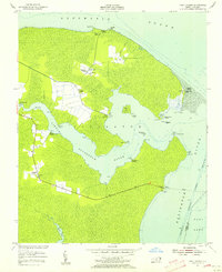
1953 · Fort Landing
USGS Topo · 1:24,000