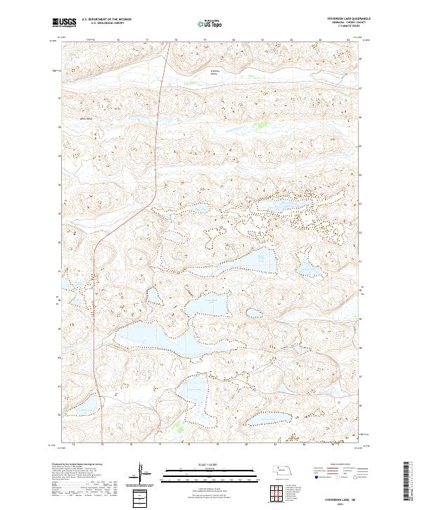
2021 Map of Steverson Lake
USGS Topo · Published 2021About this map
Cottonwood Lake and Pelican Lake anchor this 2021 topographic map of the Nebraska Sandhills, a landscape defined by an intricate network of wetland basins and interconnected waterways. The region is marked by its distinct hydrology, where ephemeral and permanent bodies of water like Piester Lake and Tree Claim Lake sit within a series of depressions including the Arkansas Valley and James Valley. The drainage system is primarily governed by Gordon Creek and Sandy Richards Cr, which meander through the sandy terrain. Human presence is sparse, indicated primarily by isolated corridors such as Carver Rd and Maire Dr, highlighting the area's role as a vast rangeland. This survey illustrates the relationship between groundwater-fed lakes and the underlying topography in one of the most unique geological regions of the Great Plains.
Find a feature on this map
20 named features on this map. Tap any name to fly to it.
Don’t see what you’re looking for? This feature index may not catch every label — zoom into the map to look around manually.
Map Details
Editions of this 2021 Steverson Lake Map
This is the sole edition of this map. No revisions or reprints were ever made.
Other maps of this area

1949 · Steverson Lake
USGS Topo · 1:62,500

1949 · Turpin Lake
USGS Topo · 1:62,500

1951 · Steverson Lake
USGS Topo · 1:62,500

1951 · Gypsy Valley
USGS Topo · 1:62,500

1951 · Turpin Lake
USGS Topo · 1:62,500

1951 · Merriman 4
USGS Topo · 1:62,500

1957 · Valentine
USGS Topo · 1:250,000

1959 · Valentine
USGS Topo · 1:250,000

1985 · Mullen
USGS Topo · 1:100,000

1985 · Cody
USGS Topo · 1:100,000