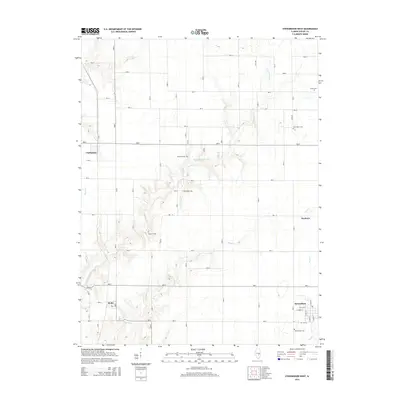
2015 Map of Stewardson West
USGS Topo · Published 2015About this map
Stewardson serves as the primary hub in this corner of Shelby County, where a grid of rural roads and homesteads centers on several small farming communities. To the west, the settlements of Clarksburg and Mode sit at the edges of the survey, while Herborn lies to the east near Brush Cr. The landscape is defined by the winding paths of Richland Cr and its tributaries, which cut through the agricultural land and create the natural depressions where Hickory Ridge Pond is located.
Find a feature on this map
26 named features on this map. Tap any name to fly to it.
Don’t see what you’re looking for? This feature index may not catch every label — zoom into the map to look around manually.
Map Details
Editions of this 2015 Stewardson West Map
This is the sole edition of this map. No revisions or reprints were ever made.
Other maps of this area

1941 · St. Elmo
USGS Topo · 1:62,500

1942 · Shelbyville
USGS Topo · 1:62,500

1945 · St. Elmo
USGS Topo · 1:62,500

1946 · Shelbyville
USGS Topo · 1:62,500

1947 · Stewardson
USGS Topo · 1:62,500

1949 · Stewardson
USGS Topo · 1:62,500

1950 · Effingham
USGS Topo · 1:62,500

1951 · Effingham
USGS Topo · 1:62,500

1958 · Decatur
USGS Topo · 1:250,000

1961 · Decatur
USGS Topo · 1:250,000